View Cart
My Account / Order Status
Help
Search
Shop By Category
Texas Road Maps
Texas Road Atlases
City/County Street Maps
City/County Map Books
City/County Wall Maps
Texas Wall Maps
Lake & Coastal Maps
Geology & Topo Maps
Historical Maps
Historical County Maps
Historical Topo Maps
Birding & Wildlife Maps
Decorative Maps
"From Space" Posters
Educational Maps & Atlases
US Road Atlases
Odds & Ends
Maps by True North Publishing
Bell County
Coryell County
Hill County
Lampasas County
McLennan County
Aerial Photos
Free PDF Maps
Free Map Indexes
Custom Maps
Join our email list for new product announcements!
Privacy Policy
(Your shopping cart is empty)
You are here:
Home
>
City/County Street Maps
>
Corpus Christi
Click the product image or name for
MORE INFO
.
Sort By:
Price: Low to High
Price: High to Low
Most Popular
Title
Manufacturer
Newest
Oldest
10 per page
20 per page
40 per page
60 per page
100 per page
Page
of 1
Corpus Christi and the Coastal Bend Atlas by Texmaps
List Price:
$24.95
Our Price:
$22.85
You Save $2.10!
New 12th Edition! This fully indexed map book of Corpus Christi and the surrounding region covers Corpus Christi, Kingsville, Alice, Portland, Ingleside, Aransas Pass, Sinton, Rockport, Port Aransas, Robstown, Mathis, etc. It features more than 135 pages of maps, covering more than 7,000 square miles and includes all of Aransas, Jim Wells, Kleberg, Nueces and San Patricio Counties and portions of Refugio, Bee, Brooks, Kenedy and Live Oak Counties. Updated January 2008.
Additional quantity discounts available!
Corpus Christi Street Guide by Rand McNally
List Price:
$18.95
Our Price:
$16.79
You Save $2.16!
Rand McNally's 1st Edition Street Guide for the Corpus Christi area is all you need to get from point A to point B. This easy-to-use, comprehensive guide features clear, detailed street-level maps, and the bold design compliments the enhanced cartography within. The convenient lay-flat spiral binding allows for easy reference on the road.
Communities covered include: Alice, Aransas Pass, Gregory, Ingleside, Kingsville, Odem, Port Aransas, Portland, Robstown, Rockport, Sinton, Taft, and neighboring communities.
Additional quantity discounts available!
Corpus Christi by Rand McNally
Our Price:
$4.95
Rand McNally's folded map for Corpus Christi shows all Interstate, U.S., state and county highways and streets along with clearly indicated parks, points of interest, airports and county boundaries.
This map ships USPS First Class for $2.88! (other shipping choices also available)
Corpus Christi EasyToFold by Rand McNally
Our Price:
$7.95
The durable and convenient Corpus Christi EasyToFoldŽ will take all the wear and tear your journey can dish out. The laminated design allows you to mark your route, make notes, then wipe the surface clean for further use. The newly redesigned map features enhanced cartography with clearly indicated highways, county boundaries, streets, points of interest, and national parks, along with a quick-reference legend and city index. It easily folds to display individual sections, eliminating the headache of refolding a paper map in the car.
NOTE:
Rand McNally's EasyToFold maps, while handy and very durable, only cover the central part of larger cities. If you need coverage of outlying areas, you should choose the standard folded map.
This map ships USPS First Class for $2.88! (other shipping choices also available)
Corpus Christi by Universal Map
Our Price:
$4.95
This Corpus Christi street map by Universal Map includes Aransas Pass, Calallen, Ingleside, Ingleside-on-the-Bay, Mustang Island, Padre Island, Port Aransas, Portland, and Robstown. It features a Corpus Christi Area Map, Downtown Corpus Christi, indexing, travel routes, railroads, boundaries, zip codes, schools, fire and police stations, post offices, libraries, colleges/universities, shopping, golf, hospitals, and points of interest.
This map ships USPS First Class for $2.88! (other shipping choices also available)
Corpus Christi Flip Map by Universal Map
Our Price:
$7.95
This Deluxe Flip Map by Universal Map is laminated and includes Aransas Pass and Ingleside, Cabaniss Field NAS, Corpus Christi area, Corpus Christi International Airport, Corpus Christi NAS, Corpus Christi Northwest Extension, Corpus Christi Southeast Extension, Port Aransas, Portland, and Waldorn Field NAS. It features indexing, zip codes, airports, hospitals, police/fire stations, schools/colleges/universities, libraries, govt. buildings, and points of interest.
NOTE:
Universal's Flip Maps, while handy and very durable, only cover the central part of larger cities. If you need coverage of outlying areas, you should choose the standard folded map.
This map ships USPS First Class for $2.88! (other shipping choices also available)
Corpus Christi by Five Star Maps
Our Price:
$3.95
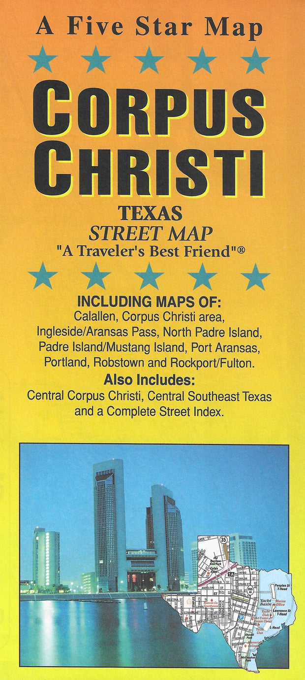
This folding street map of Corpus Christi from Five Star Maps also covers Calallen, Ingleside/Aransas Pass, North Padre Island/Mustang Island, Port Aransas, Portland, Robstown and Rockport/Fulton and features areas of interest, golf courses, parks, schools, zip codes and inset maps of central Corpus Christi and Southeast Texas.
This map ships USPS First Class for $2.88! (other shipping choices also available)
True North Publishing
PO Box 308
Bulverde, TX 78163
830-885-4668
Contact Us
Privacy Policy
Send Us Feedback
Company Info
|
Product Index
|
Category Index
|
Help
|
Terms of Use
Copyright © 2006 True North Publishing. All Rights Reserved.
Shopping Cart Software
by Volusion