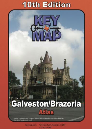
Galveston/Brazoria Area Atlas by Key Maps, Wire-o version
MPBK007
Regular price
$36.95
-13 in stock
With over 2200 square miles of coverage in portions of 5 counties, this 10th Edition Key Map Atlas has the Galveston/Brazoria area covered like a glove. It also has tourist information about Galveston Island as well as listings of schools, hospitals, subdivisions, and much more.
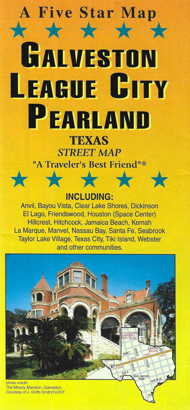
This folding street map of Galveston/League City Pearland from Five Star Maps also covers the Bolivar Peninsula, Dickinson, Galveston Island, Pelican Island, Jamaica Beach and Hitchcock and features areas of interest, golf courses, parks, schools and zip codes.