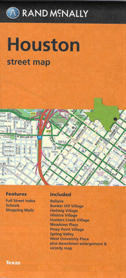
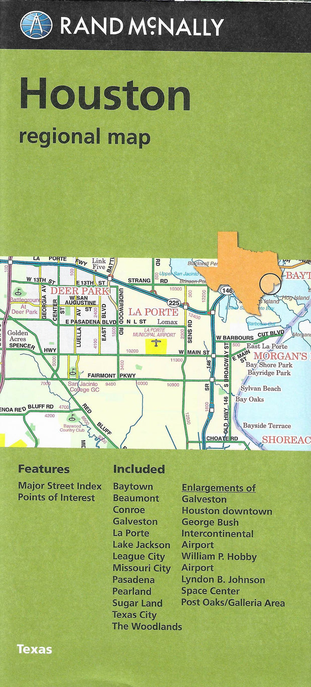
View Cart
My Account / Order Status
Help
Search
Shop By Category
Texas Road Maps
Texas Wall Maps
Texas Road Atlases
City/County Street Maps
City/County Map Books
City/County Wall Maps
Lake & Coastal Maps
Topographic & Earth Sciences Maps
Historical Maps
Historical County Maps
Historical Topo Maps
Birding & Wildlife Maps
Decorative Maps
"From Space" Posters
Educational Maps & Atlases
Odds & Ends
Free PDF Maps
Gift Certificates
Major Publishers
Key Maps
Mapsco
Rand McNally
Texmaps
Universal Map
Join our email list for new product announcements!
Privacy Policy
(Your shopping cart is empty)
You are here:
Home
>
City/County Street Maps
>
Houston
Click the product image or name for
MORE INFO
.
Sort By:
Price: Low to High
Price: High to Low
Most Popular
Title
Manufacturer
Newest
Oldest
Availability
10 per page
20 per page
40 per page
60 per page
100 per page
Page
of 2
Houston & Harris County Atlas by Key Maps, Wire-o version
List Price: $38.95
Our Price:
$36.59
You save $2.36!
*NEW EDITION!*
This new 51st Edition (2011) Atlas is Houston's source for the most up-to-date street information. All Key Maps Atlases are digitally produced and you can see the difference; crisper cleaner type, improved accuracy, overlap from page to page, and that's just beginning. Key Map also produces excellent
wall maps
that have the same grid system as this atlas so that the two can be used in conjunction.
Houston/Galveston Street Guide by Rand McNally
List Price: $29.95
Our Price:
$27.65
You save $2.30!
Rand McNally's 10th edition (2009) Street Guide for the Houston area (including Galveston, Harris, and portions of Fort Bend, Waller, and Montgomery Counties) contains over 5300 new streets and updates. The easy-to-use, comprehensive guide features clear, detailed street-level maps, and the bold design compliments the enhanced cartography within.
Additional quantity discounts available!
Houston by Rand McNally
Our Price:
$5.95
Rand McNally's folded map for Houston is a must-have for anyone traveling in and around this part of Texas, offering unbeatable accuracy and reliability at a great price. Features all Interstate, U.S., state, and county highways, along with clearly indicated parks, points of interest, airports, county boundaries, and streets. The easy-to-use legend and detailed index make for quick and easy location of destinations.
This map ships USPS First Class for $3.95! (other shipping choices also available)
Houston, Northeast Suburban by Rand McNally
Our Price:
$4.95
Rand McNally's folded map for Northeast Suburban Houston is a must-have for anyone traveling in and around this part of Texas, offering unbeatable accuracy and reliability at a great price. Features all Interstate, U.S., state, and county highways, along with clearly indicated parks, points of interest, airports, county boundaries, and streets. The easy-to-use legend and detailed index make for quick and easy location of destinations.
This map ships USPS First Class for $3.95! (other shipping choices also available)
The Woodlands - North Suburban Houston by Rand McNally
Our Price:
$4.95
Rand McNally's folded map for The Woodlands - North Suburban Houston is a must-have for anyone traveling in and around this part of Texas, offering unbeatable accuracy and reliability at a great price. Features all Interstate, U.S., state, and county highways, along with clearly indicated parks, points of interest, airports, county boundaries, and streets. The easy-to-use legend and detailed index make for quick and easy location of destinations.
This map ships USPS First Class for $3.95! (other shipping choices also available)
Houston, South Suburban by Rand McNally
Our Price:
$4.95
Rand McNally's folded map for South Suburban Houston is a must-have for anyone traveling in and around this part of Texas, offering unbeatable accuracy and reliability at a great price. Features all Interstate, U.S., state, and county highways, along with clearly indicated parks, points of interest, airports, county boundaries, and streets. The easy-to-use legend and detailed index make for quick and easy location of destinations. Communities covered: Brookside Village, Iowa Colony, League City, Manvel, Nassau Bay, Seabrook, and Webster.
This map ships USPS First Class for $3.95! (other shipping choices also available)
Houston, Southwest Suburban by Rand McNally
Our Price:
$4.95
Rand McNally's folded map for Southwest Subruban Houston is a must-have for anyone traveling in and around this part of Texas, offering unbeatable accuracy and reliability at a great price. Features all Interstate, U.S., state, and county highways, along with clearly indicated parks, points of interest, airports, county boundaries, and streets. The easy-to-use legend and detailed index make for quick and easy location of destinations. Communities covered: Katy, Meadows Place, Richmond, Rosenberg, and Stafford.
This map ships USPS First Class for $3.95! (other shipping choices also available)
Houston Flip Map by Universal Map
Our Price:
$7.95
This Deluxe Flip Map is laminated and provides coverage of central Houston including Bellaire, Bunker Hill Village, Downtown Houston, Dyersdale, George Bush Intercontinental Airport, Hedwig Village, Hilshire Village, Houston Area, Hunters Creek Village, Piney Point Village, Southside, Spring Valley, and West University Place. It features full indexing, travel routes, railroads, boundaries, airports, hospitals, fire/police stations, and more.
NOTE:
Universal's Flip Maps, while handy and very durable, only cover the central part of larger cities. If you need coverage of outlying areas, you should choose the standard folded map.
This map ships USPS First Class for $3.95! (other shipping choices also available)
Houston, Greater by Universal Map
Our Price:
$5.95
The Greater Houston, Texas Street Map by Universal Map is full-color and provides extensive coverage, insets of Houston City Center, Houston, and Vicinity. Shows travel routes, railroads, boundaries, parks, golf courses, and points of interest. Includes Bellaire, Brookside Village, Bunker Hill Village, Hedwig Village, Hilshire Village, Humble, Hunters Creek Village, Jersey Village, Meadows Place, Missouri City, Pearland, Piney Point Village, Southside, Spring Valley, Stafford, and more.
This map ships USPS First Class for $3.95! (other shipping choices also available)
Houston, Kingwood and North Suburbs by Universal Map
Our Price:
$4.95
This Kingwood and North Houston Suburbs street map by Universal Map includes Chateau Woods, Humble, Magnolia, Oak Ridge North, Patton Village, Roman Forest, Shenandoah, Splendora, Spring, Statgecoach, Tomball, Woodbranch Village, and Woodloch. Features full indexing, travel routes, airports, railroads, boundaries, parks, golf courses, cemeteries, points of interest, shopping, schools, fire/police stations, libraries, post offices, and hospitals.
This map ships USPS First Class for $3.95! (other shipping choices also available)
True North Publishing
PO Box 308
Bulverde, TX 78163
830-885-4668
Contact Us
Privacy Policy
Send Us Feedback
Company Info
|
Product Index
|
Category Index
|
Help
|
Terms of Use
Copyright © 2006 True North Publishing. All Rights Reserved.
Shopping Cart Software
by Volusion