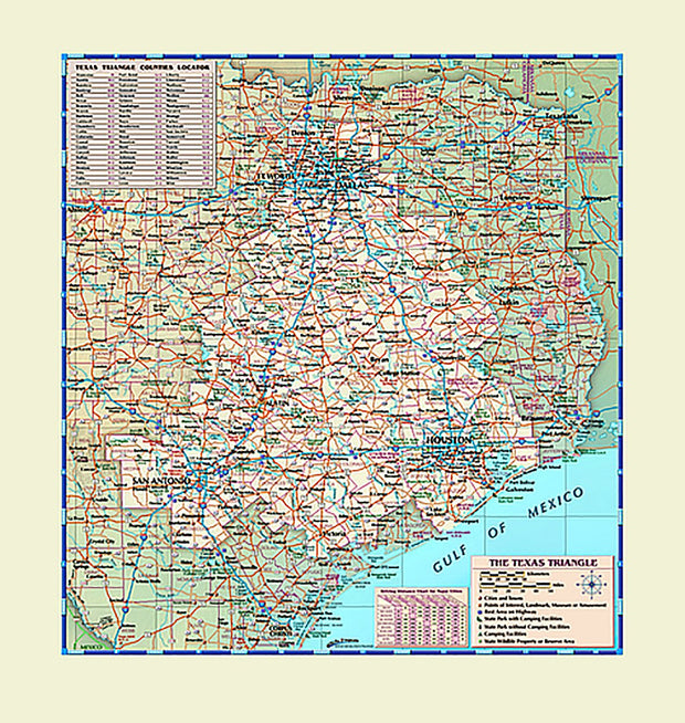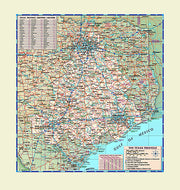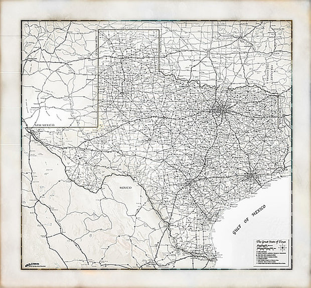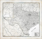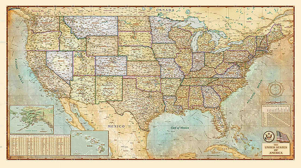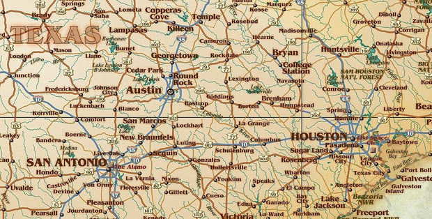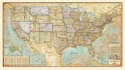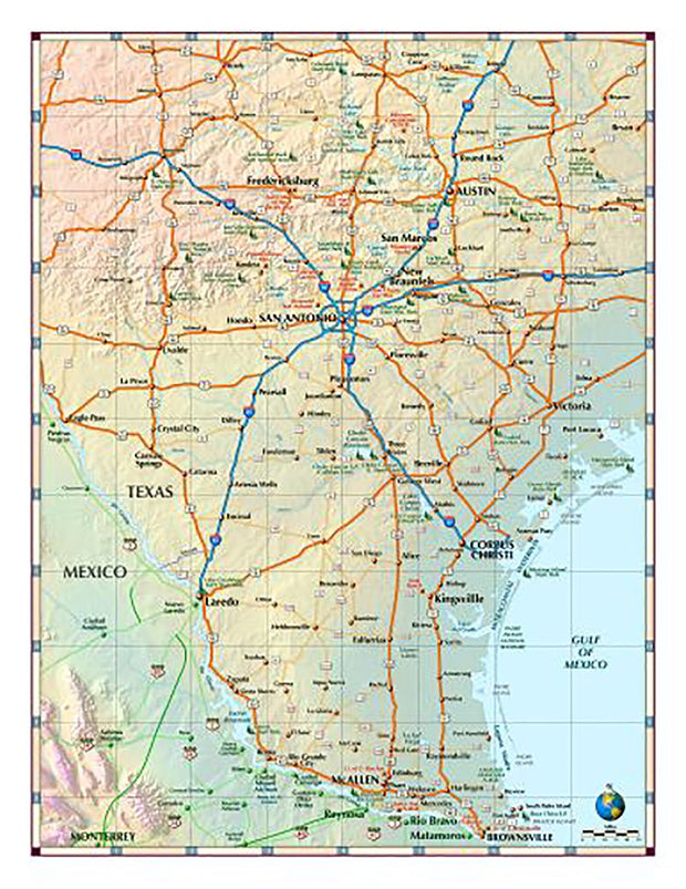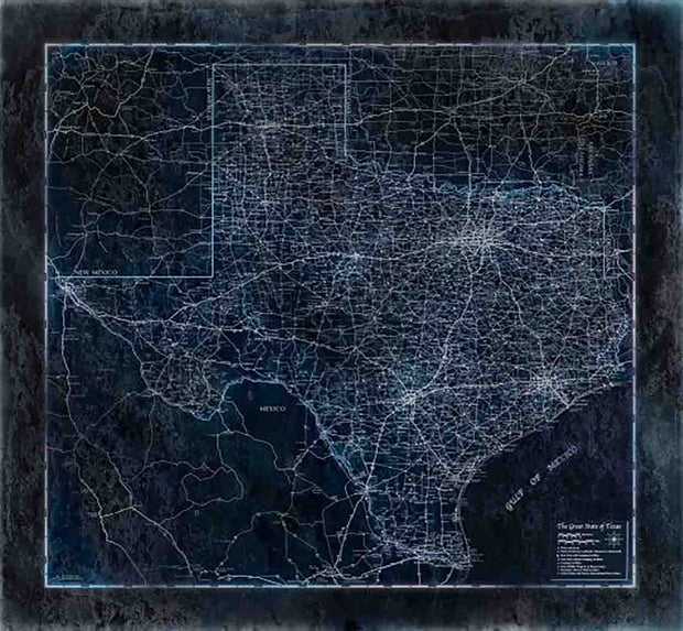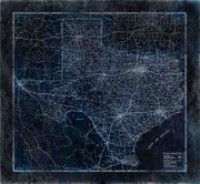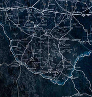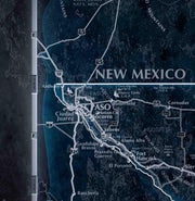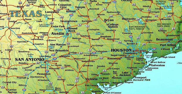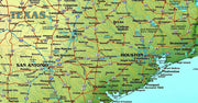

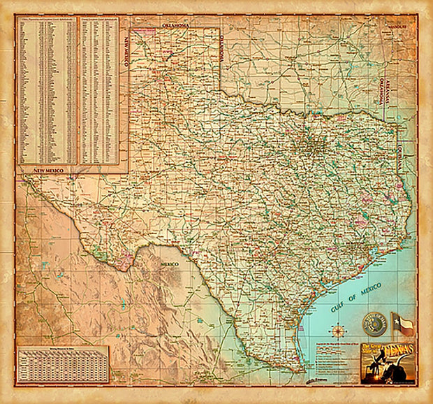
Antique Style Texas Wall Map
TXWM017A
Regular price
$44.95
![User picture]()
- Paper or Laminated
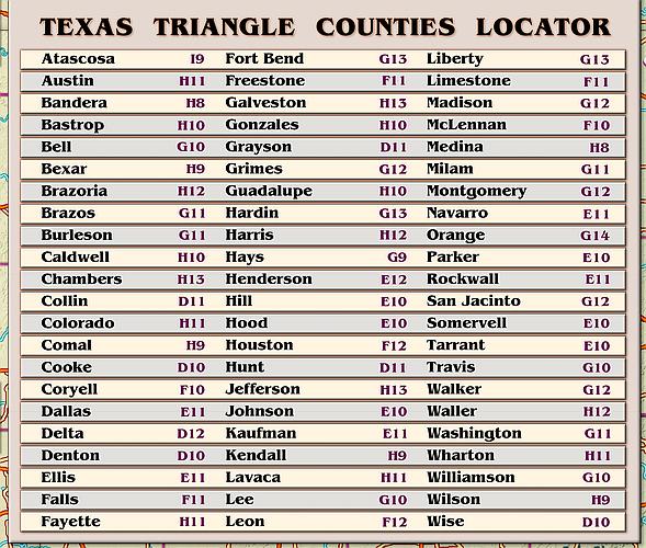
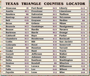
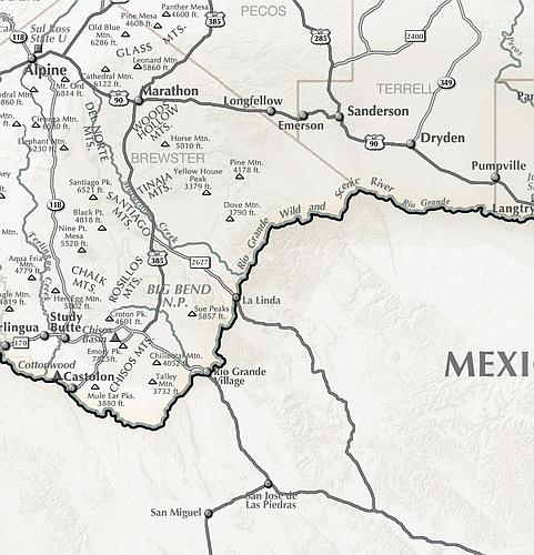
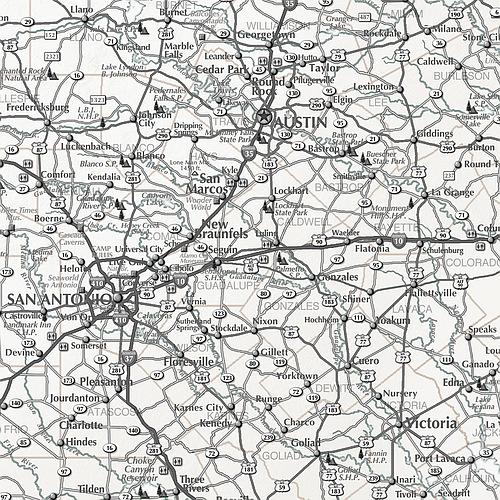
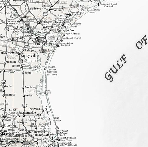
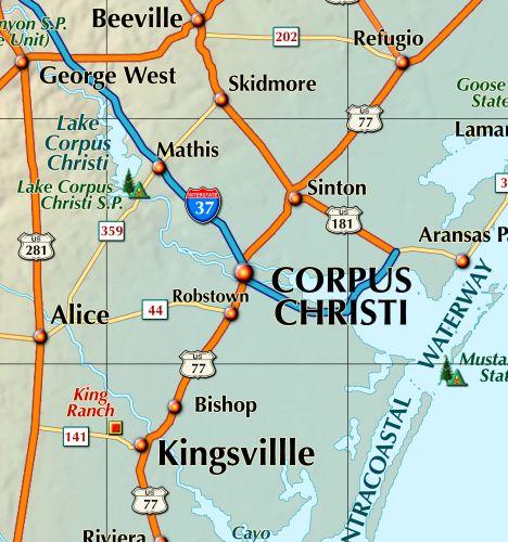
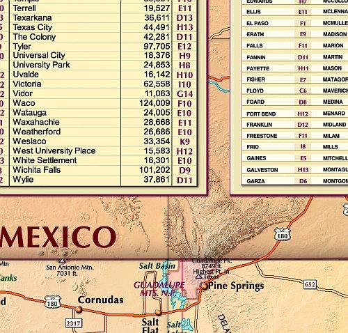
- City/Town Index
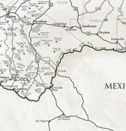
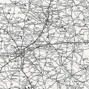
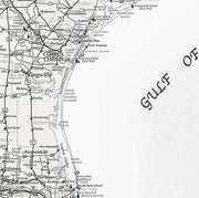
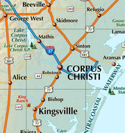
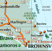
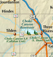
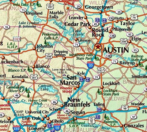
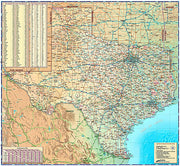
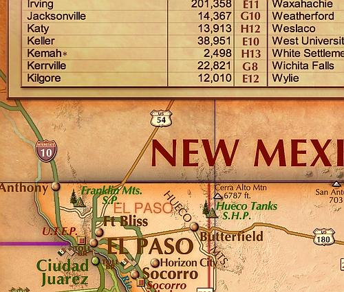
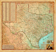
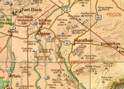
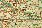
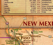
- Includes Counties, Cities, Roads
- Antiqued Finish Perfect for Office or Study
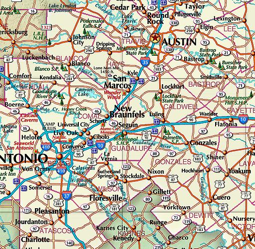
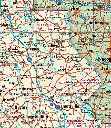
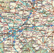
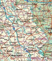
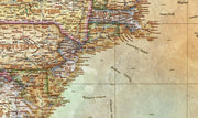
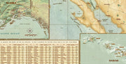
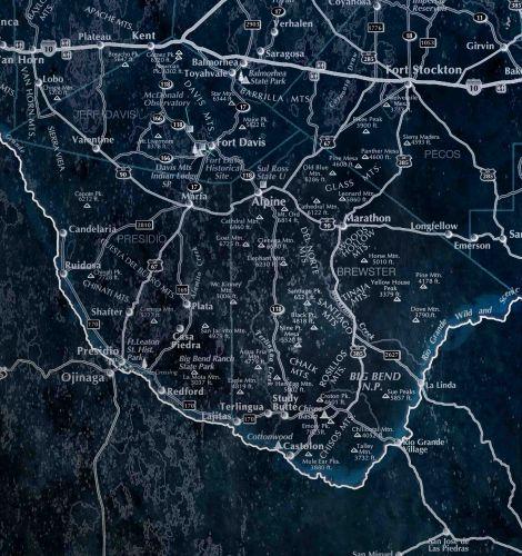
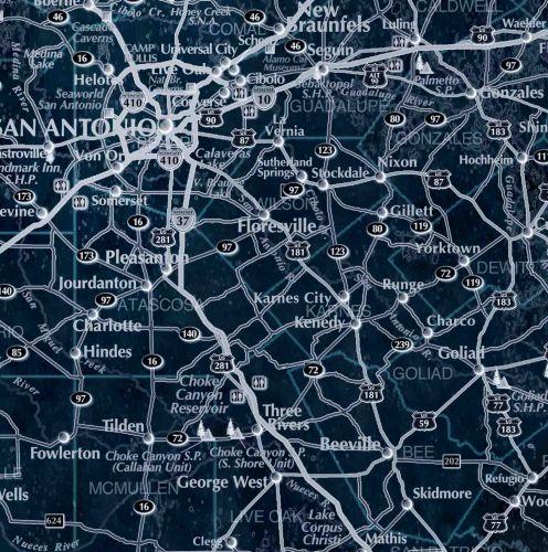
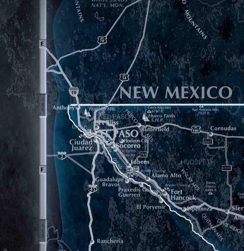
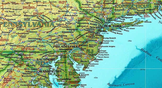
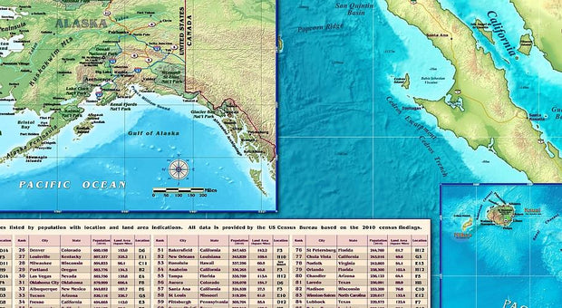
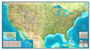
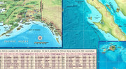
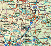
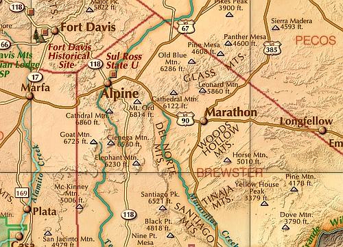
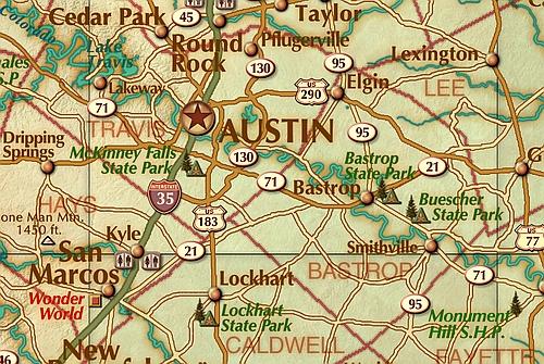
This decorative map of Texas is colorful and easy-to-read featuring topography in shaded relief. Beautiful as well as functional, this map will brighten any office, classroom or study.
This map comes rolled and shipped in a sturdy cardboard tube.
Customer Reviews
Based on 1 review
100%
(1)
0%
(0)
0%
(0)
0%
(0)
0%
(0)
B
Great wall map of Texas. Thank you.