


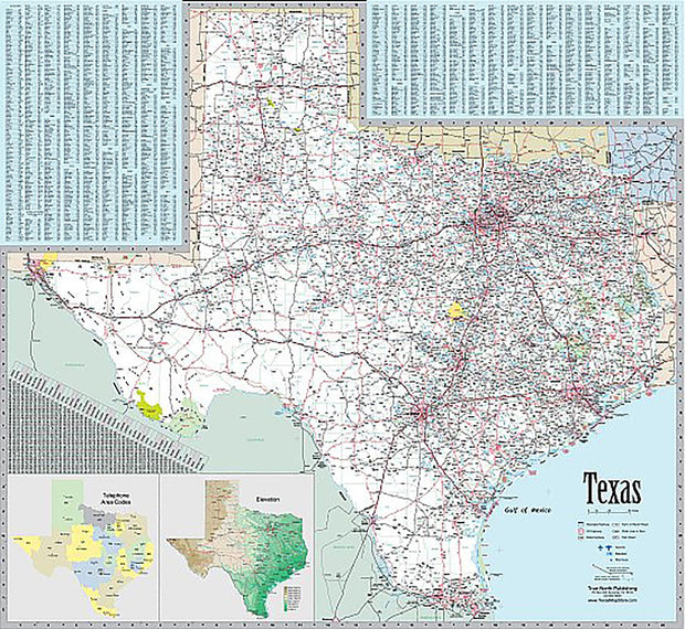


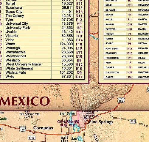


Shop popular Texas Fishing maps by Lake or Reservoir
I will mount it under glass on the back porch of my house. Will be a great conversation piece.
Just what I was looking for before my trip to Ivie
Just the map I needed and quick shipping. Packed well.
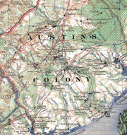
Appreciate being able to read this map! So helpful for our aging eyes. Purchased also as gift for friend.
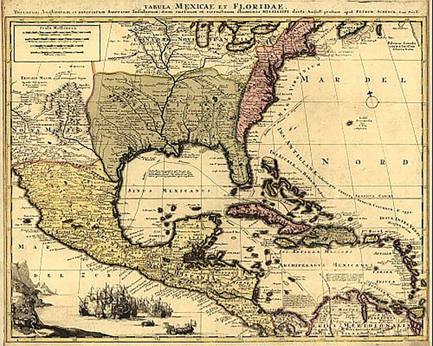
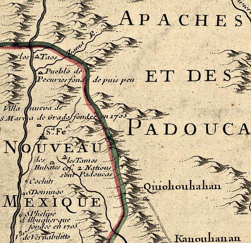
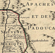
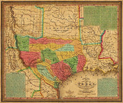
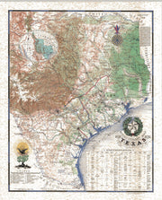
Very cool, good reproduction historical map
Great quality, highly recommend. We've framed it and it looks fantastic!


