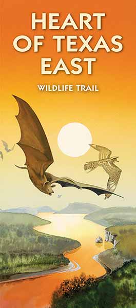
To plan that perfect afternoon drive, day trip, weekend getaway or a lengthier trip, the Heart of Texas Wildlife Trails Map - East is your passport to Central and South Texas. The map features 14 separate loops, each with a variety of sites for viewing wildlife. There are directions to each site, suggested seasons for visiting, and examples of wildlife that can be seen. From the South Texas Plains to the Hill Country, these trails will show you to the best wildlife watching sites in Central Texas. Heart of Texas Trail maps are all you need to discover tucked-away bed and breakfasts with access to nature trails, hiking, mountain biking and perfect views of hill country sunsets.
To plan that perfect afternoon drive, day trip, weekend getaway or a lengthier trip, the Heart of Texas Wildlife Trails Map - West is your passport to Central and South Texas. The map features 12 separate loops, each with a variety of sites for viewing wildlife. There are directions to each site, suggested seasons for visiting, and examples of wildlife that can be seen. From the South Texas Plains to the Hill Country, these trails will show you to the best wildlife watching sites in Central Texas. Heart of Texas Trail maps are all you need to discover tucked-away bed and breakfasts with access to nature trails, hiking, mountain biking and perfect views of hill country sunsets.
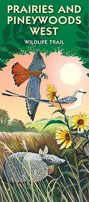
If you wish to discover more about the north and northeast Texas birding and wildlife observation opportunities, you will find it in this beautiful map, the Prairies and Pineywoods Wildlife Trails - East. The map features 15 separate loops, each with a variety of sites for viewing wildlife. There are directions to each site, suggested seasons for visiting, and examples of wildlife that can be seen. It will navigate you in your discovery of the wildlife and enjoyment of the beautiful forests, lakes, and prairies of Texas.
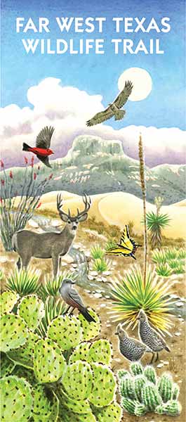
The Far West Texas Wildlife Trail map will make the wide expanse of this region a more manageable adventure for you by giving simple driving loops of city parks, state parks, national parks, nature retreats, hiking trails and more. Whether you plan a short trip or an extended stay to the area, this map highlights the best hot-spots for wildlife viewing in the region. Enjoy Texas hospitality while exploring some of Texass most remote areas. Far West Texas is the place to get away from the fast-paced world of daily life, so come on out and camp, hike, mountain bike, birdwatch or just relax in the beauty of Far West Texas!
If you wish to discover more about the north and northeast Texas birding and wildlife observation opportunities, you will find it in this beautiful map, the Prairies and Pineywoods Wildlife Trails - West. The map features 16 separate loops, each with a variety of sites for viewing wildlife. There are directions to each site, suggested seasons for visiting, and examples of wildlife that can be seen. It will navigate you in your discovery of the wildlife and enjoyment of the beautiful forests, lakes, and prairies of Texas.
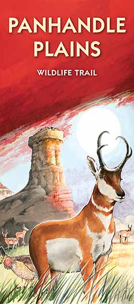
The Texas Panhandle's best outdoor wildlife viewing areas are now easy for you to find with the Panhandle Plains Wildlife Viewing Trails map. This map not only steers you to great locales to see the birds and other animals of the Panhandle, it also shows you the best places to experience the wide open spaces of West Texas. The map comprises 13 separate loops, each with a variety of excellent sites for viewing wildlife. There are directions to each site, suggested seasons for visiting, and examples of wildlife that can be seen. Take in the unique wildlife and scenery of the Panhandle, at a glimpse or as an in-depth visit, depending on your schedule.