


FOLD014
FOLD022
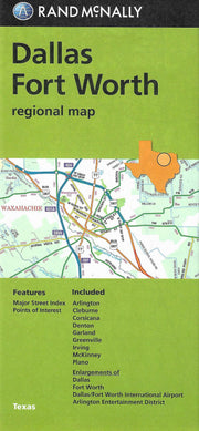
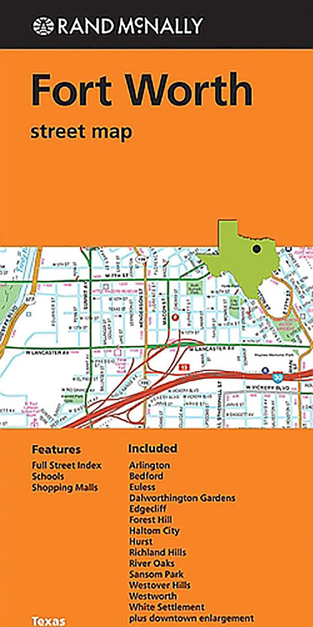
Rand McNally's folded map for Fort Worth is a must-have for anyone traveling in and around this part of Texas, offering unbeatable accuracy and reliability at a great price. Our trusted cartography shows all Interstate, U.S., state, and county highways, along with clearly indicated parks, points of interest, airports, county boundaries, and streets. The easy-to-use legend and detailed index make for quick and easy location of destinations. You'll see why Rand McNally folded maps have been the trusted standard for years.
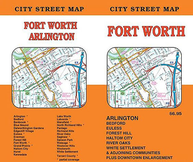
Communities Included: Arlington,Bedford, Euless, Dalworthington Gardens, Edgecliff, Forest Hill, Haltom City, Hurst, Richland Hills, Rover Oaks, Sansom Park, Westover Hills, Westworth, White Settlement plus downtown enlargement.
Measures 9.5" x 4" and folds out to 40" x 28".
Just the map I needed and quick shipping. Packed well.
it was like old days. everything i hoped and expected
I have enjoyed having the map of Fort Worth! Very good quality and great customer service!
Super!
FOLD092