View CartMy Account / Order StatusHelp

Join our email list for new product announcements!

Privacy Policy


(Your shopping cart is empty)
You are here: Home > Lake & Coastal Maps > Lake Buchanan
Click the product image or name for MORE INFO.
Sort By:
Page of 1  
Lake Buchanan & Inks Lake by Fishing Hot Spots
List Price: $11.45
Our Price: $9.89
You Save $1.56!

New for 2007! 
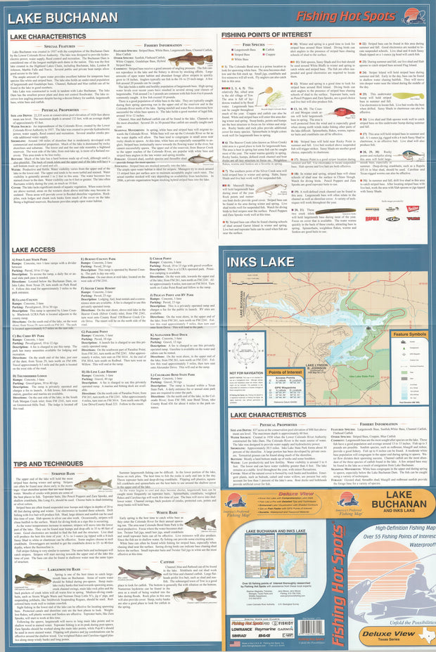
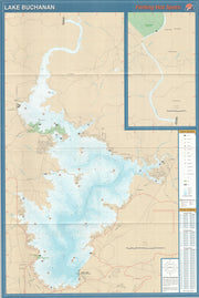
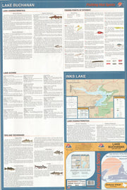
Completed in 1937, Lake Buchanan is the northern most lake within the Highland Chain of lakes.  An impoundment of the Lower Colorado River, the lake is approximately 22,335 surface acres in size and boasts a boasts robust populations of striped and white bass.  Under-rated populations of largemouth bass and Guadalupe bass also exist.  Rounding out the fishing opportunities are good populations of channel catfish, flathead catfish and blue catfish.
This map ships USPS First Class for $2.88! (other shipping choices also available)
Highland Lakes North - Lake Buchanan, Inks Lake & Lake LBJ by A.I.D. Associates
List Price: $10.45
Our Price: $7.69
You Save $2.76!

This is a full-color, waterproof and tear resistant map with a GPS Grid and Coordinates covering Lake Buchanan, Inks Lake and Lake Lyndon B. Johnson lacated near Burnet, Marble Falls, Kingsland and Granite Shoals.
This map ships USPS First Class for $2.88! (other shipping choices also available)
   
 
True North Publishing
PO Box 308
Bulverde, TX 78163
830-885-4668
 Contact Us
 Privacy Policy
 Send Us Feedback