

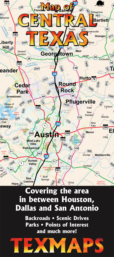
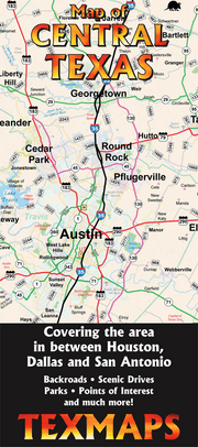
TEXAS16
Nice map, easy to follow. Visually pleasing.
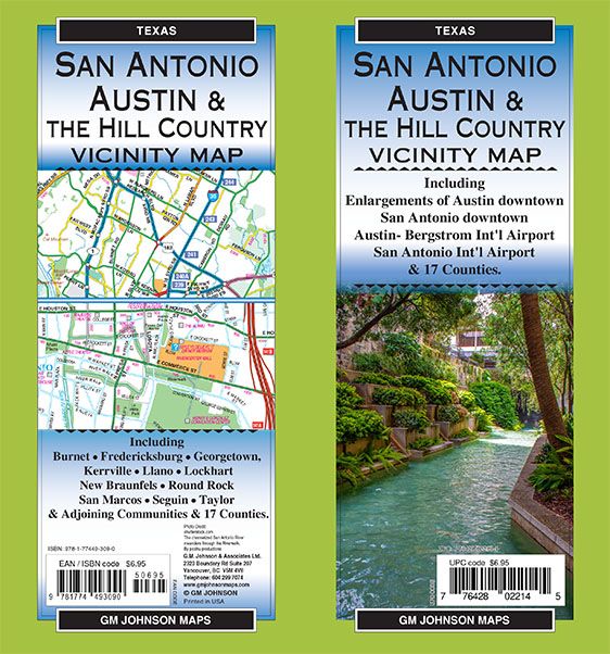
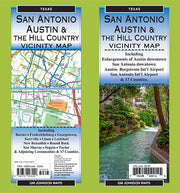
TEXAS03
Including:
Burnet, Fredericksburg, Georgetown, Kerrville, Llano, Lockhart, New Braunfels, Round Rock, San Marcos, Seguin, Taylor & Adjoining Communities & 17 Counties.
Including Enlargements of:
Austin downtown, San Antonio downtown, Austin- Bergstrom Int’l Airport, San Antonio Int’l Airport & 17 Counties.