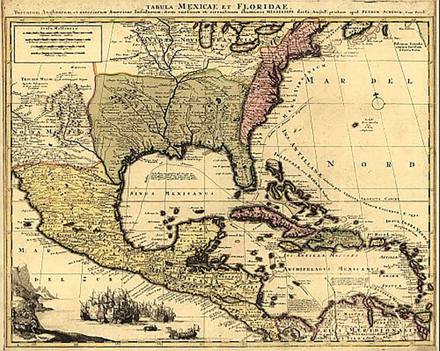
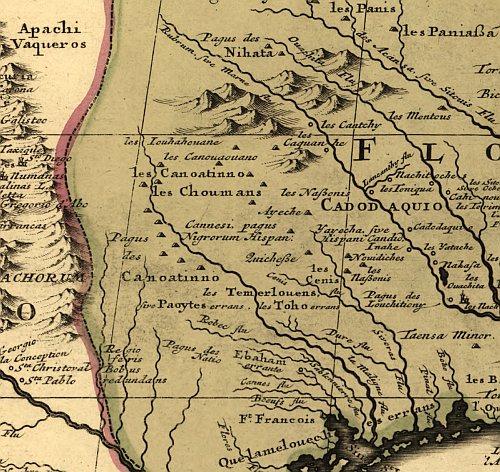
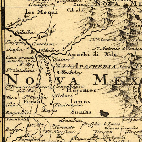
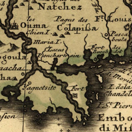
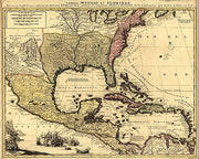
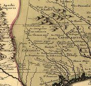
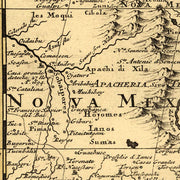
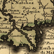
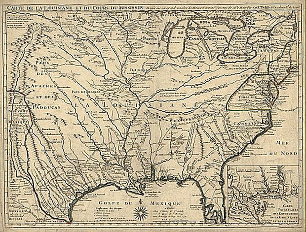
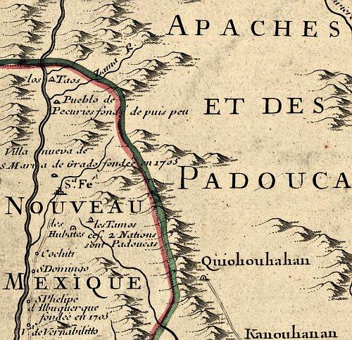
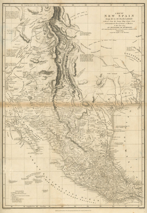
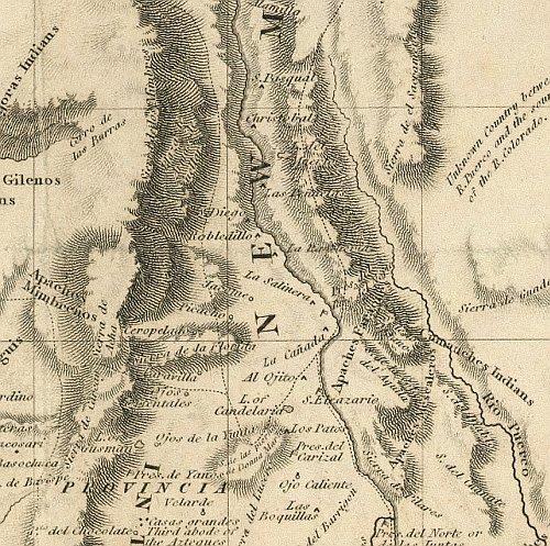
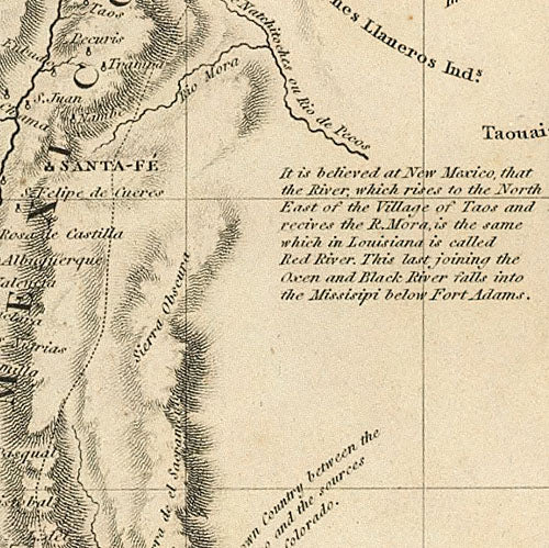
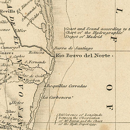
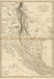
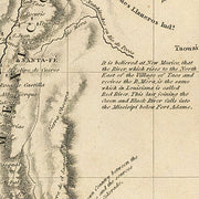
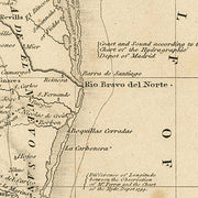
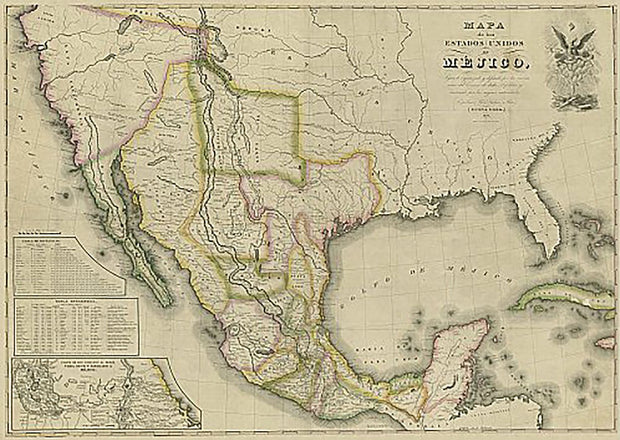
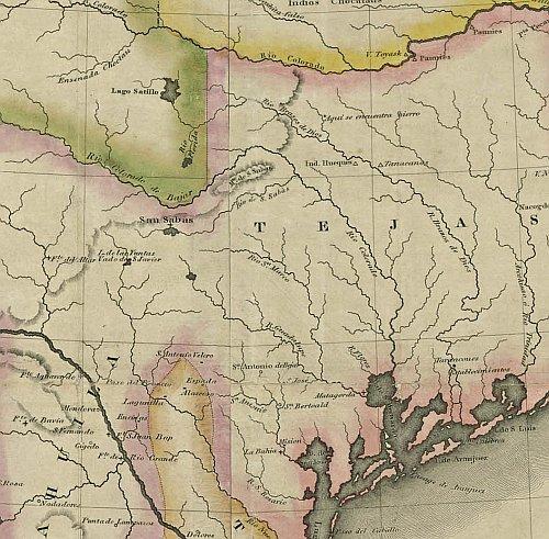
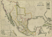
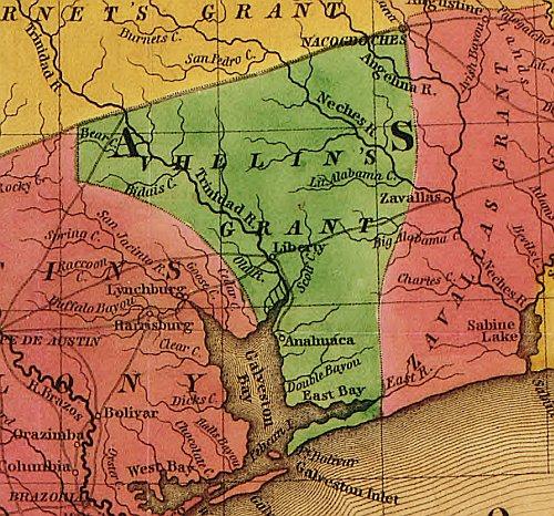
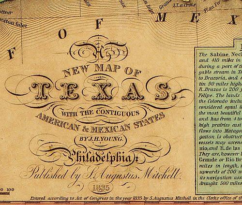
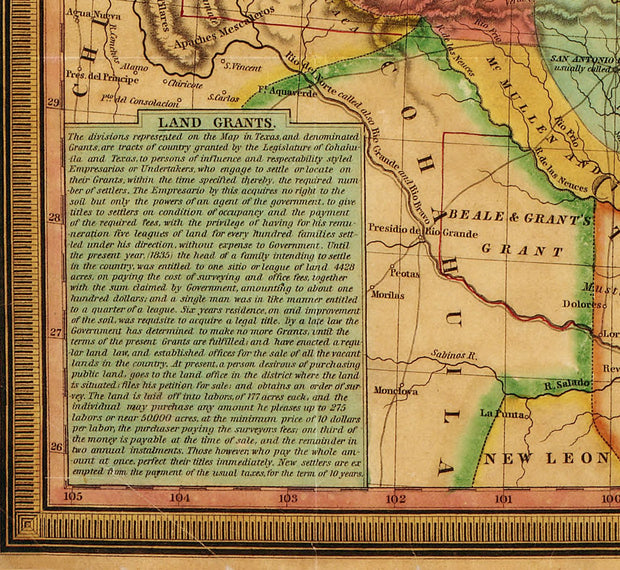
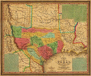
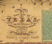
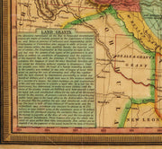
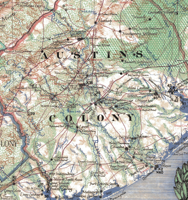
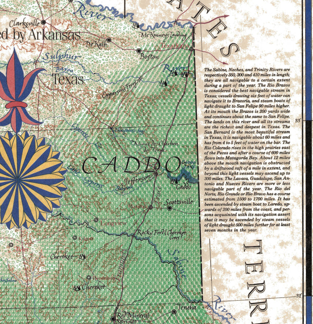
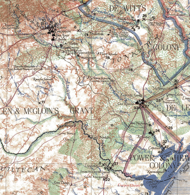
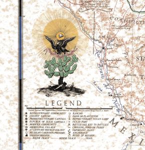
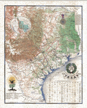
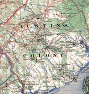
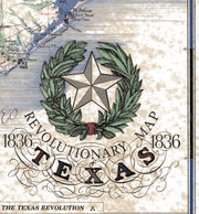
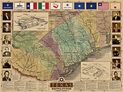
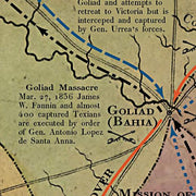
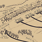
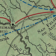
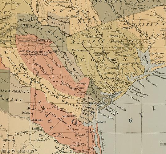
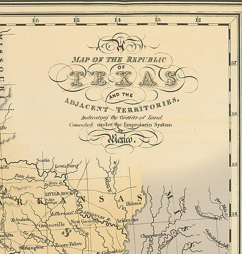
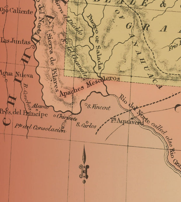
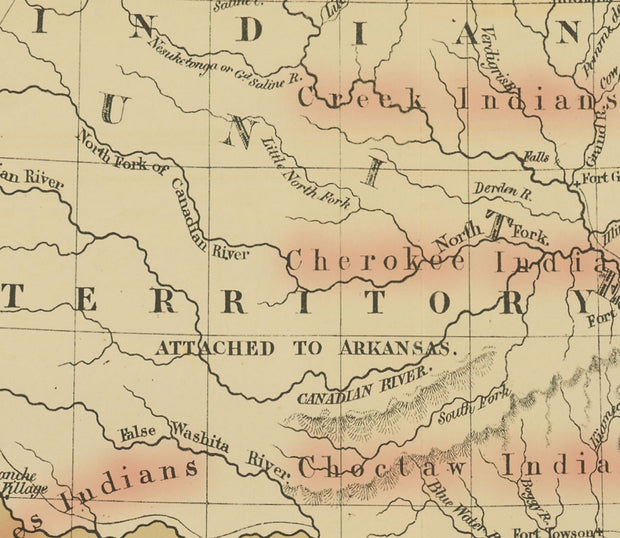
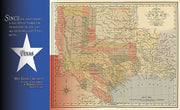
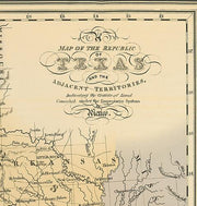
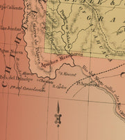
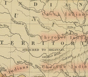
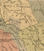
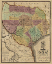
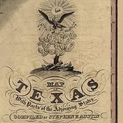
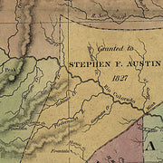
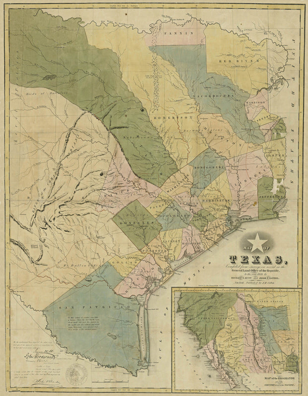
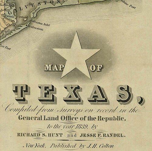
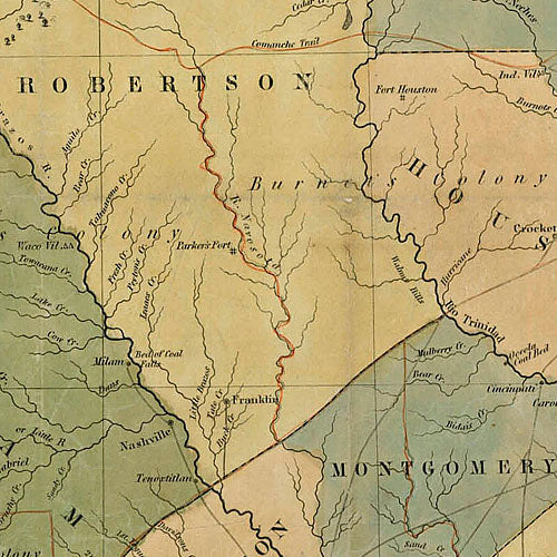
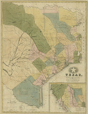
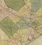
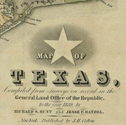
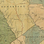
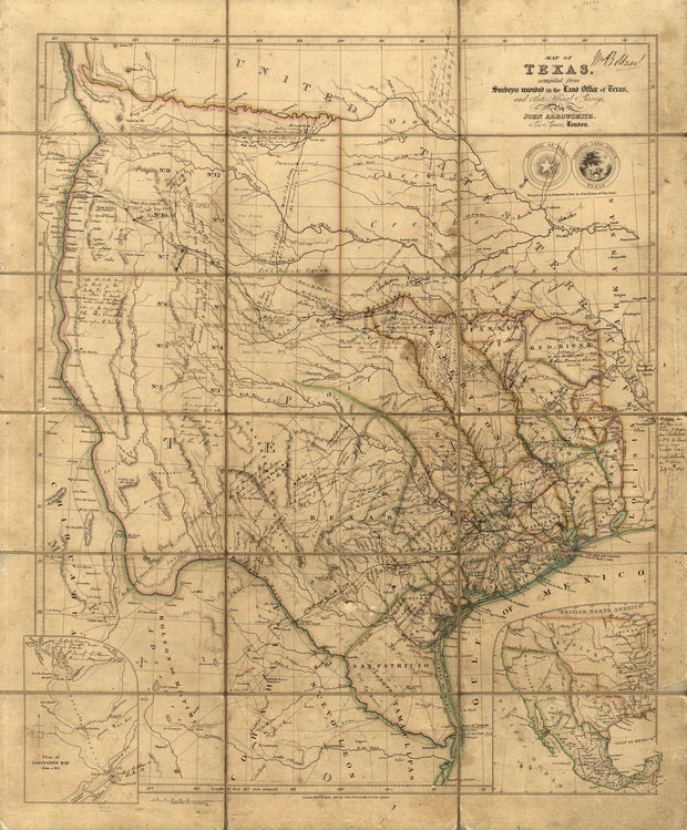
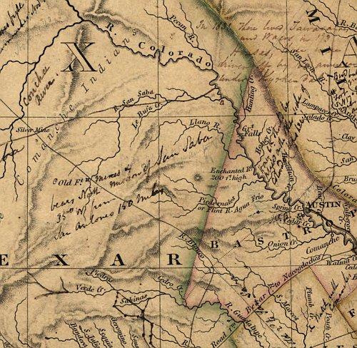
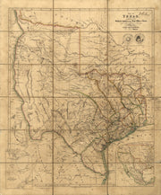
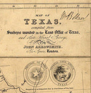
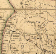
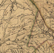
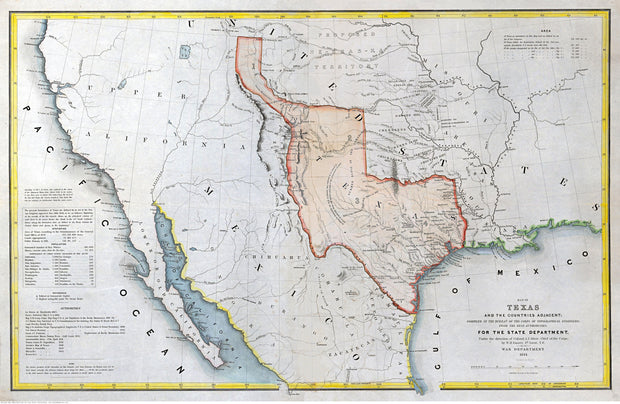
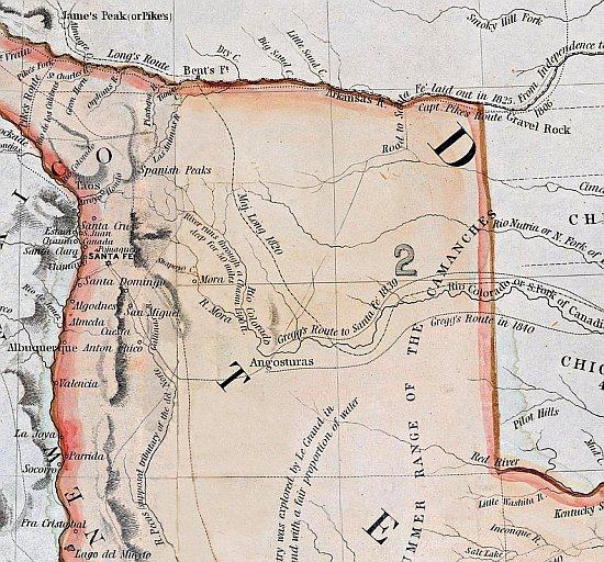
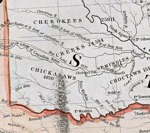
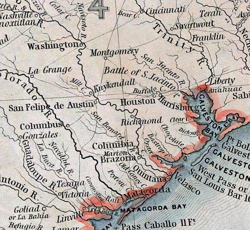
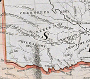
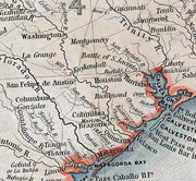
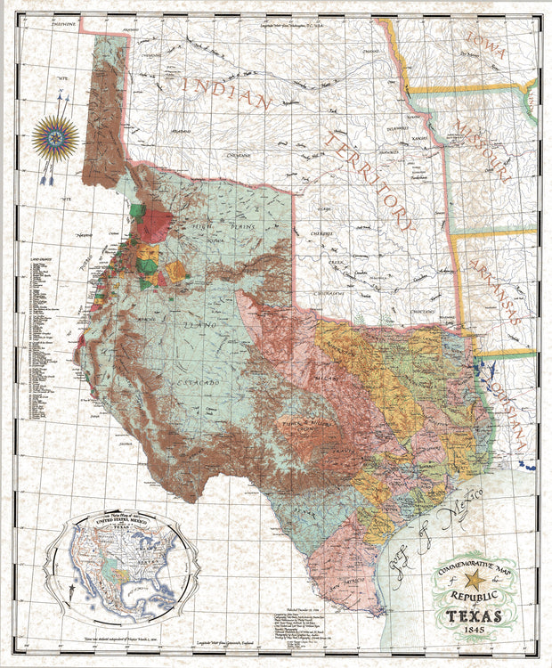
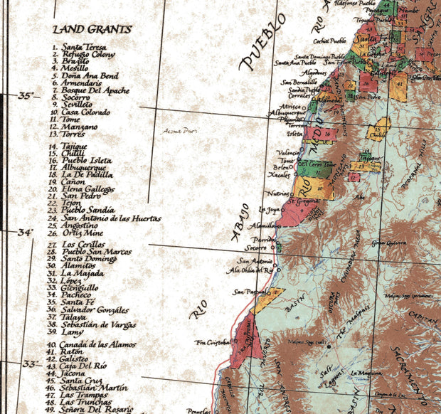
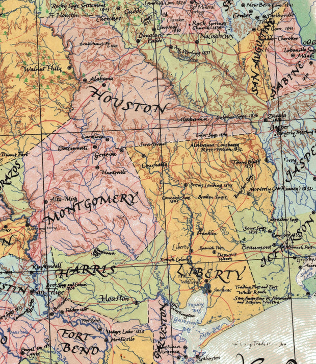
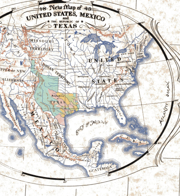
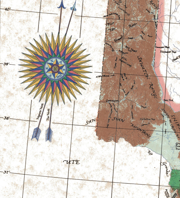
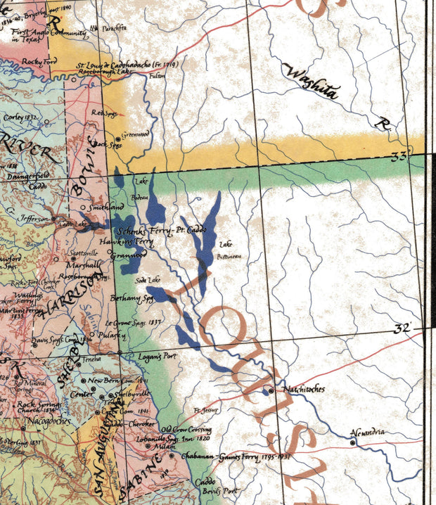
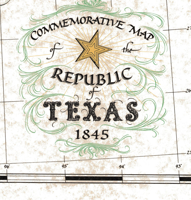
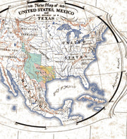
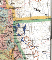
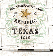
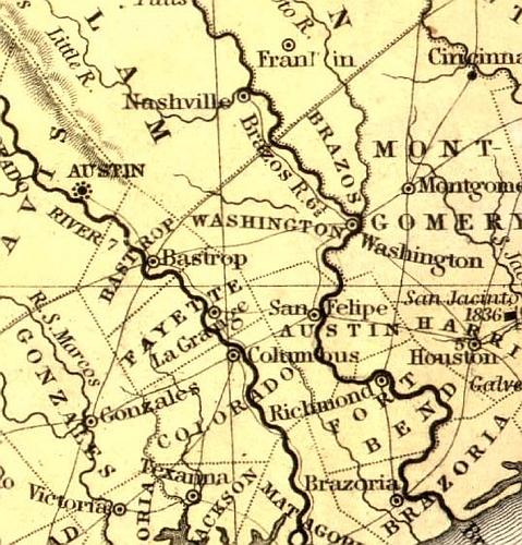
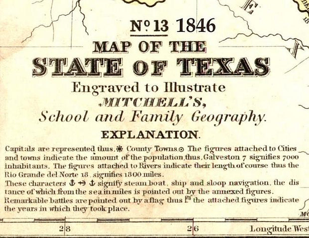
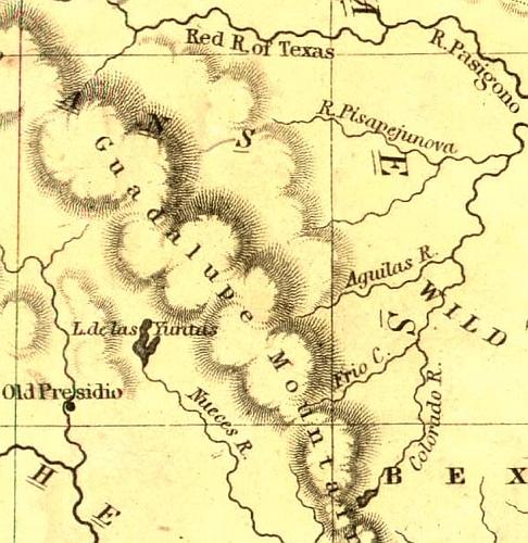
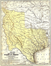
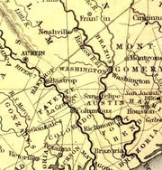
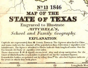
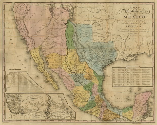
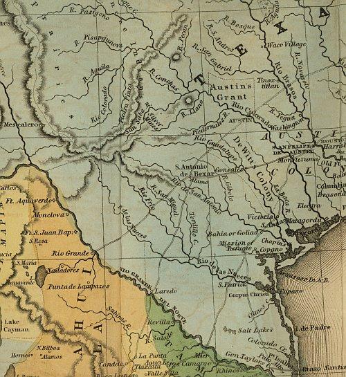
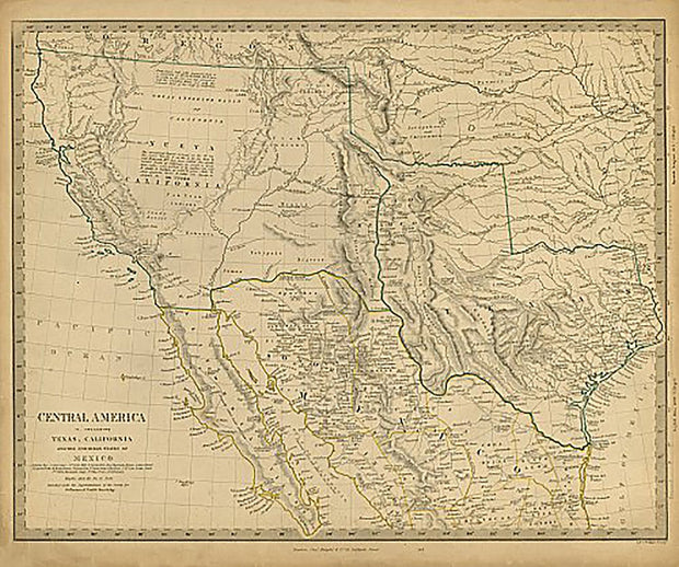
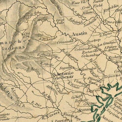
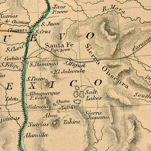
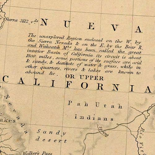
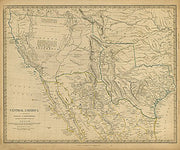
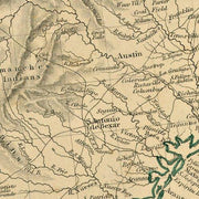
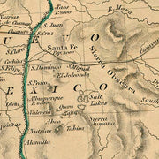
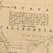
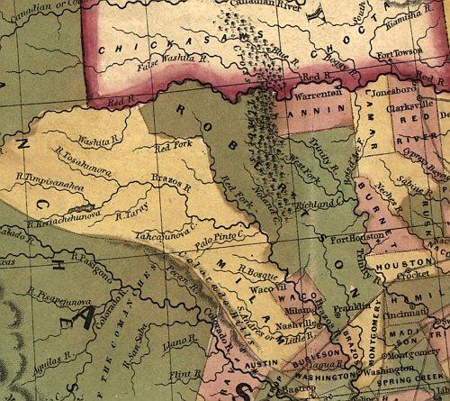
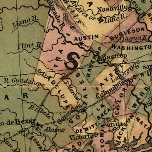
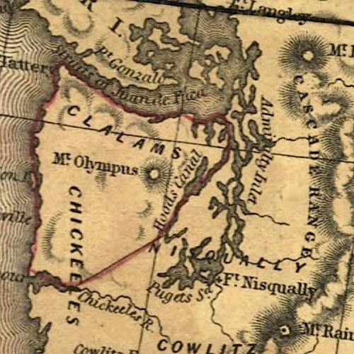
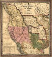
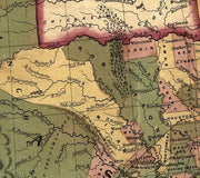
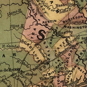
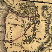
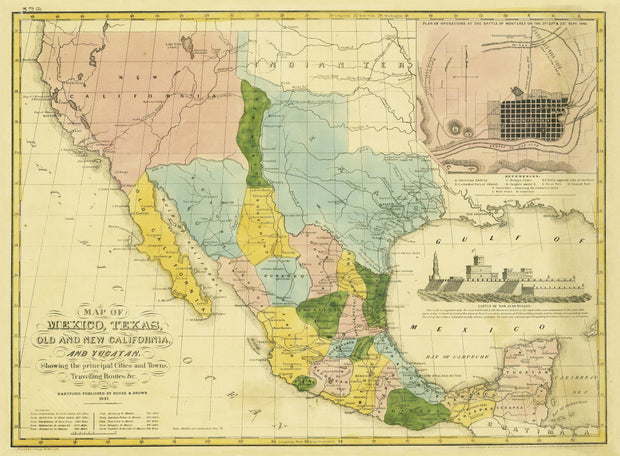
Explore Our Texas Historical Map Collection
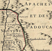
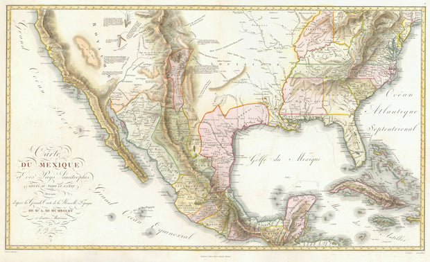
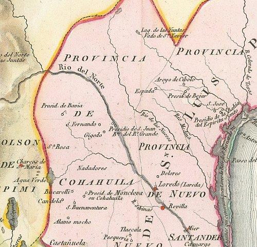
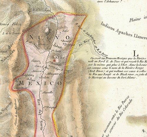
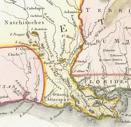
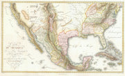
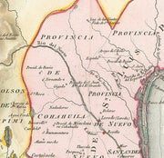
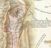
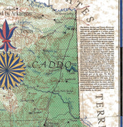
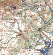
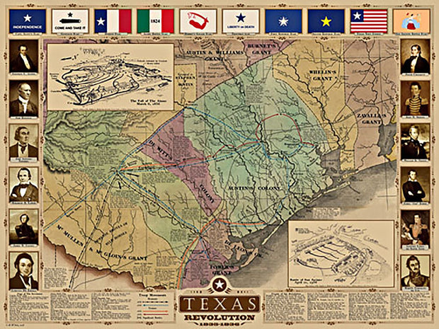
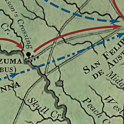
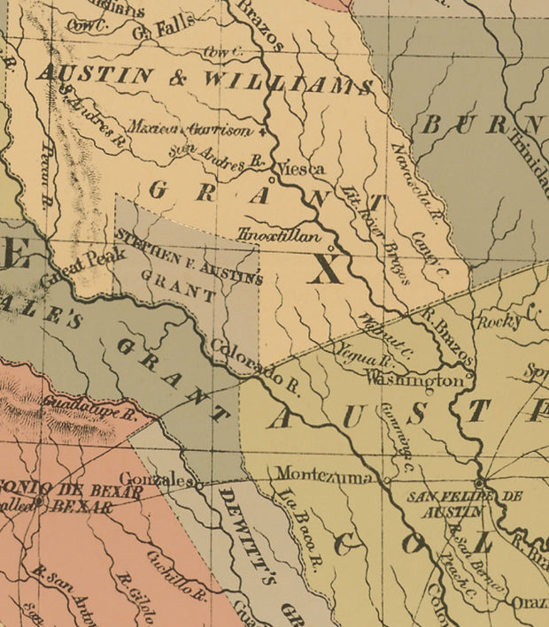
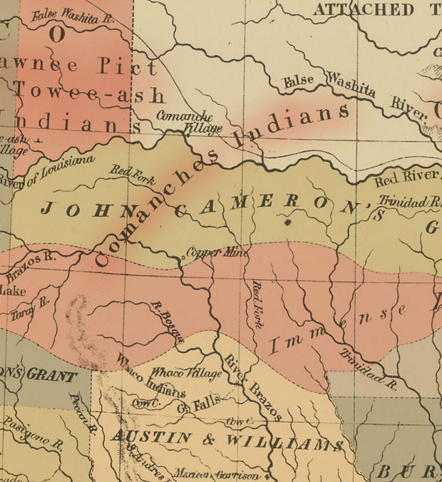
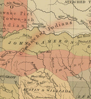
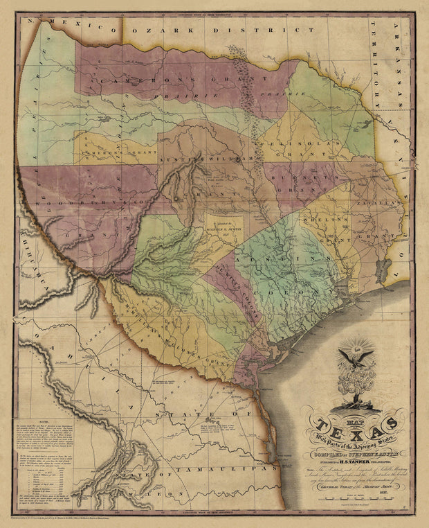
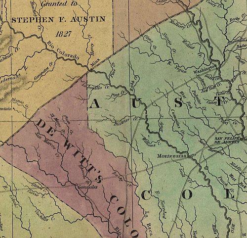
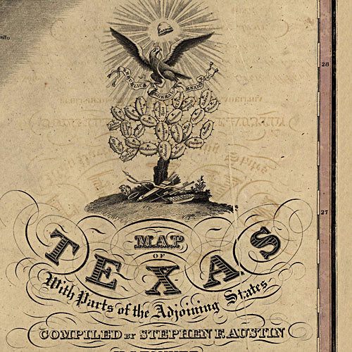
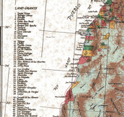
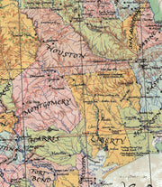
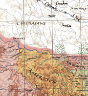
Educational as well as decorative, discover Texas's history from every angle with our collection of Texas historical maps. This collection features several high-quality, historical maps perfect for wall display or a look back at Texas in past centuries. These vintage maps include an assortment of traditional maps as well as bird's eye view maps that were popular in past eras. Each of these old maps tells a story that is unique to Texas's past.
All these maps offer free shipping.
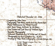
These rich historical antique reproductions are printed on 65 lb heavy stock parchment paper using HP 100-year inks.
These maps are printed and shipped in the USA
Perfect for reminiscing, teaching, or wall display. Buy your map online and have it delivered within a few days.