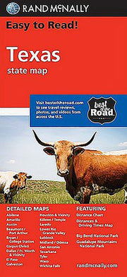
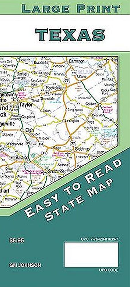
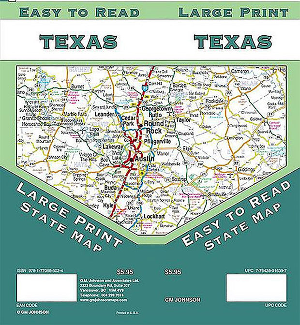
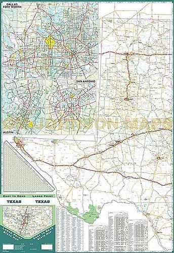
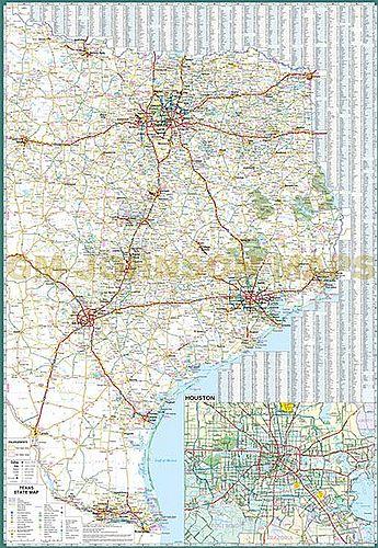
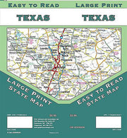
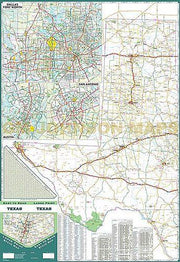
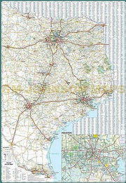
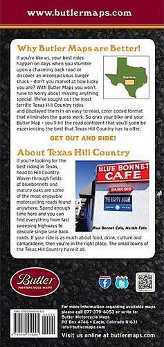
View CartMy Account / Order StatusHelp
Texas Road Maps
State Road Atlases
City/County Street Maps
City/County Map Books
City/County Wall Maps
Texas Wall Maps
Lake & Coastal Maps
Geology & Topo Maps
Historical Maps
Historical County Maps
Historical Topo Maps
Birding & Wildlife Maps
Decorative Maps
"From Space" Posters
Educational Maps & Atlases
US Road Atlases
World Wall Maps
Odds & Ends
Bell County
Coryell County
Hill County
Lampasas County
McLennan County
Aerial Photos
Free PDF Maps
Free Map Indexes
Custom Maps

Join our email list for new product announcements!

Privacy Policy


You are here: Home > Texas Road Maps
Click the product image or name for MORE INFO.
Sort By:
Page of 1  
Texas by Hallwag
Our Price: $11.95

This especially large road map of Texas from Hallwag features insets of towns and cities as well as rest areas, campsites, national parks, scenic routes and more. A booklet containing a distoguide, place name index and additional information for tourists is attached to the inside cover.  If you don't mind the creases, this map makes a good wall map when unfolded.
Add to cart to see our low shipping rates!
Texas GuideMap by National Geographic
Our Price: $7.95

The Texas State GuideMap from National Georgaphic is a two-sided, durable map that combines an up-to-date state road map with detailed travel guide information. The front side features a state highway map, enhanced with terrain detail, an index of towns, and useful inset maps to help you easily navigate major cities. The reverse side presents useful information about points of interest, history, parks and recreation, and other tourist suggestions along with vivid color photographs, maps, and illustrations.
This map ships USPS First Class for $2.59! (other shipping choices also available)
Texas EasyToFold by Rand McNally
Our Price: $7.95

The durable and convenient Texas EasyToFold will take all the wear and tear your journey can dish out. The heavy-duty laminated design allows you to mark your route, make notes, then wipe the surface clean for further use.
This map ships USPS First Class for $2.59! (other shipping choices also available)
Texas by Rand McNally
Our Price: $4.95

Rand McNally's folded map for Texas is a must-have for anyone traveling in or through the state, offering unbeatable accuracy and reliability at a great price. Features all Interstate, U.S., state, and county highways, along with clearly indicated parks, points of interest, airports, county boundaries, and more. You'll also find great travel information about state parks, welcome center locations, points of interest, road condition hotline numbers, a state mileage chart, and more.
This map ships USPS First Class for $2.59! (other shipping choices also available)
Texas by Five Star Maps
Our Price: $4.95

This folding road map of Texas from Five Star Maps includes major arterial inset maps of Abilene, Amarillo, Austin, Big Bend Nat'l Park, Brazosport Area, Bryan-College Station, Beaumont-Orange-Port Arthur, Corpus Christi, Dallas-Ft. Worth, Del Rio, El Paso, Houston, Laredo, Longview-Marshall, Lower Rio Grande Valley, Lubbock, Midland-Odessa, San Angelo, San Antonio, Texarkana, Tyler, Victoria, Waco and Wichita Falls. It features points of interest, a mileage chart, state parks guide, Historical Route 66 and a complete index.
This map ships USPS First Class for $2.59! (other shipping choices also available)
Texas by Universal Map
Our Price: $4.95

The Texas Road Map by Universal Map features a city-to-city mileage chart, state parks and recreation areas, tourist agency phone numbers, county indexing, color-coded travel routes, railroads, boundaries, and city populations for the lone star state.
This map ships USPS First Class for $2.59! (other shipping choices also available)
Texas Flip Map by Universal Map
Our Price: $6.95

The laminated Texas State Flip Map by Universal Map folds easily and is protected with a durable write on-wipe off surface. Includes city indexing, a mileage chart between selected cities, and maps of Dallas/Ft. Worth, El Paso, San Antonio and Houston. Other features include color-coded travel routes, state and international boundaries, time zone boundaries, ferry routes, city populations, forests, parks, urban areas, airports, and points of interest.
This map ships USPS First Class for $2.59! (other shipping choices also available)
East Texas by Five Star Maps
Our Price: $4.95

This folding road map of East Texas from Five Star Maps covers the part of Texas roughly east of I35 and north of I10 and has major arterial inset maps of Angleton-Lake Jackson- Freeport, Austin, Beaumont-Orange-Port Arthur, Bryan-College Station, Dallas-Ft Worth & Vicinity, Galveston, Houston & Vicinity, Killeen, Longview-Marshall, Lufkin, Nacogdoches, Paris, Sherman-Denison, Texarkana, Tyler and Waco. It features points of interest and a complete index.
This map ships USPS First Class for $2.59! (other shipping choices also available)
East Texas by National Map
Our Price: $4.95

This fully indexed folding road map of East Texas from The National Map Co. covers the eastern part of Texas roughly east of a line from Ft. Worth to Corpus Christi and features areas of interest, lakes, creeks, rivers, state parks and county boundaries and includes major arterial maps of Austin, Bryan, College Station, Dallas, Fort Worth, Houston, San Antonio, Shreveport, Texarkana, Tyler, Waco and Wichita Falls.
This map ships USPS First Class for $2.59! (other shipping choices also available)
South Texas by TexMaps
Our Price: $4.95

Full color indexed map of South Texas, covers everything South of Houston and San Antonio to Monterrey, Mexico. Find Highways, Backroads, State and National Parks, Small Towns and Big Cities. Covers the entire Texas Coast from Freeport to South Padre Island. Updated January, 2007.
This map ships USPS First Class for $2.59! (other shipping choices also available)
South Central Texas
Our Price: $4.95

This popular map from Map Ventures covers the Austin/San Antonio/Hill Country area of the state with detail down to county roads.
This map ships USPS First Class for $2.59! (other shipping choices also available)
Texas Hill Country by Rand McNally
Our Price: $4.95

Rand McNally's redesigned folded map for the Texas Hill Country features enhanced cartography showing all Interstate, U.S., state, and county highways, along with clearly indicated parks, points of interest, airports, county boundaries, and streets. The easy-to-use legend and detailed index make for quick and easy location of destinations.
This map ships USPS First Class for $2.59! (other shipping choices also available)
Texas Hill Country by Universal Map
Our Price: $4.95

This map of the Texas Hill Country by Universal Map includes inset maps of Bandera, Boerne, Burnet, Fredericksburg, Kerrville, Kyle, Marble Falls, New Braunfels, and San Marcos and provides indexing, color-coded travel routes, railroads, airports, boundaries, cemeteries, golf courses, parks, schools/colleges/universities, hospitals, libraries, and other points of interest.
This map ships USPS First Class for $2.59! (other shipping choices also available)
Texas Hill Country Map and Tourist Guide by National Map
Our Price: $5.95

This unique folding map of the Texas Hill Country from The National Map Co. covers an area roughly bounded by San Saba on the north, Austin on the east, Real County on the west and San Antonio - Uvalde on the south.  It features hundreds of attractions, points of interest, historical notes and lodging accomodations and includes good arterial maps of all of the towns in the area.
This map ships USPS First Class for $2.59! (other shipping choices also available)
   
 
True North Publishing
PO Box 308
Bulverde, TX 78163
830-885-4668
 Contact Us
 Privacy Policy
 Send Us Feedback