View CartMy Account / Order StatusHelp

Join our email list for new product announcements!

Privacy Policy


(Your shopping cart is empty)
You are here: Home > Historical Topo Maps > Travis Co
New maps are being added to this category - please check back often!

Click on the map name or image for a LARGER IMAGE AND MORE INFO.
Sort By:
Page of 1  
Austin 1896, USGS
Our Price: $14.95

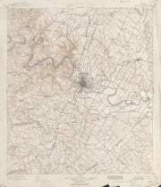
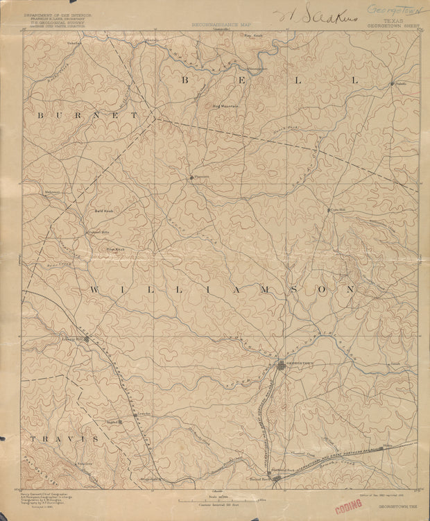
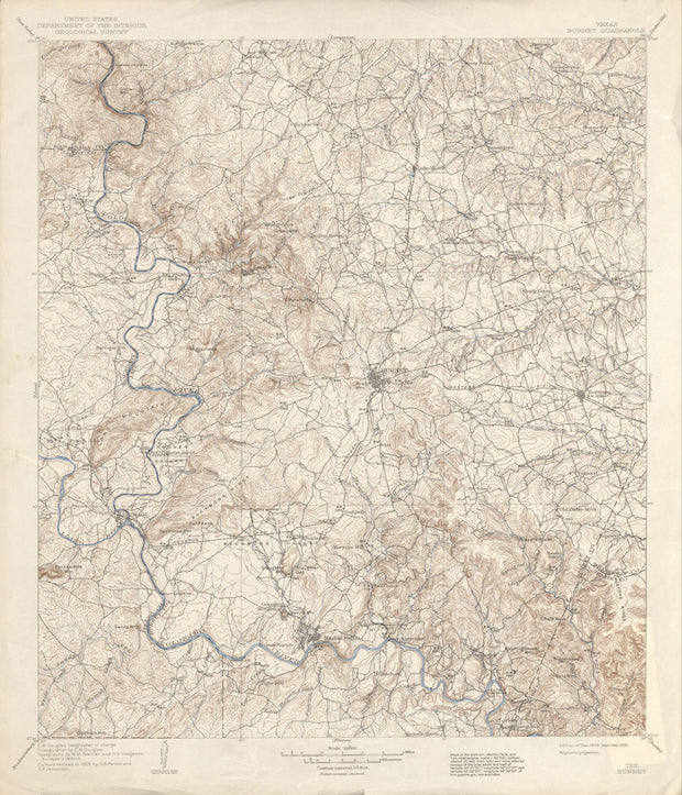
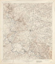
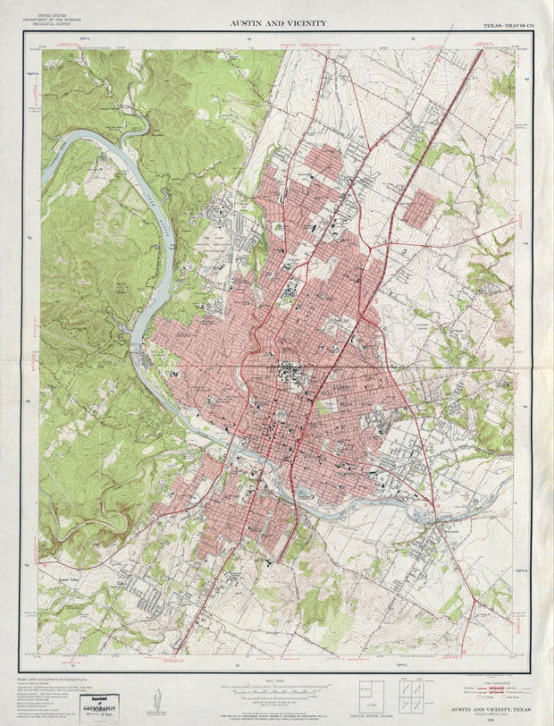
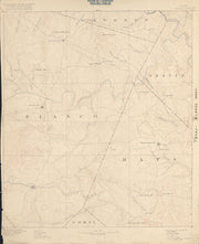
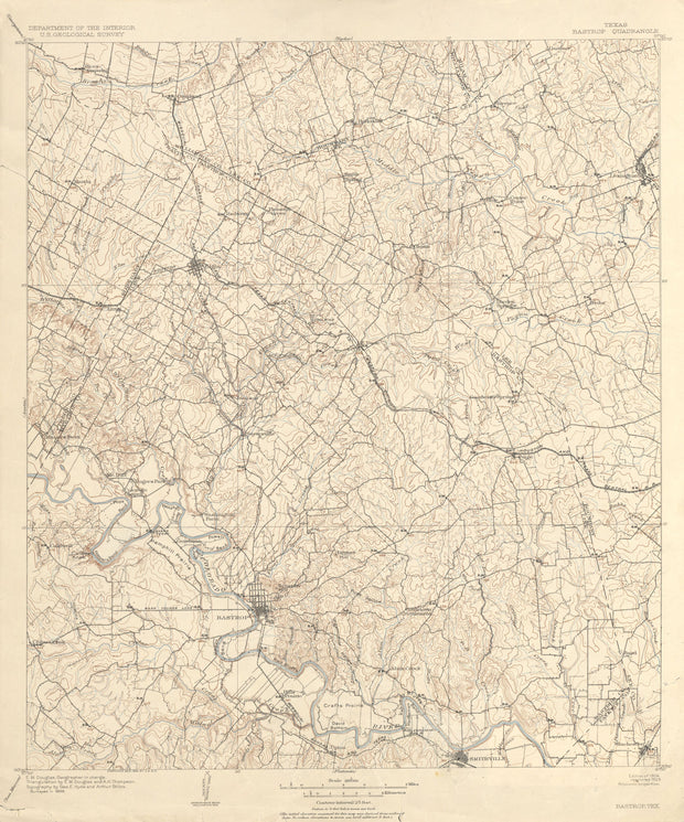
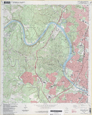
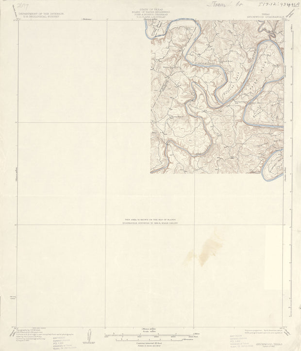
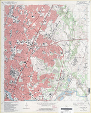
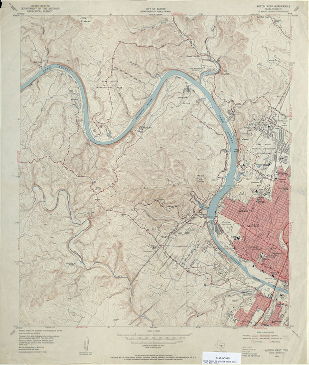
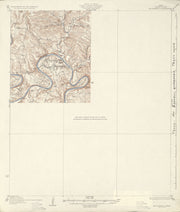
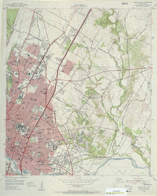
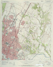
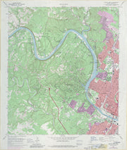
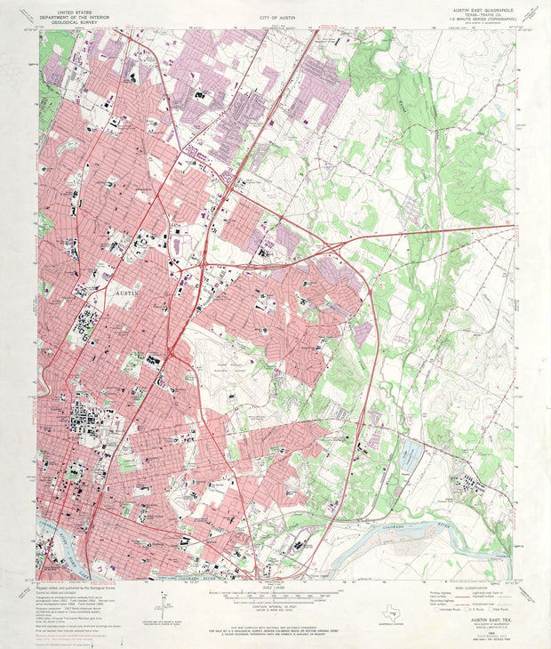
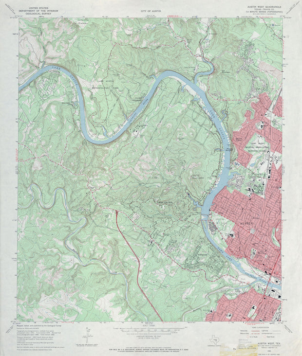
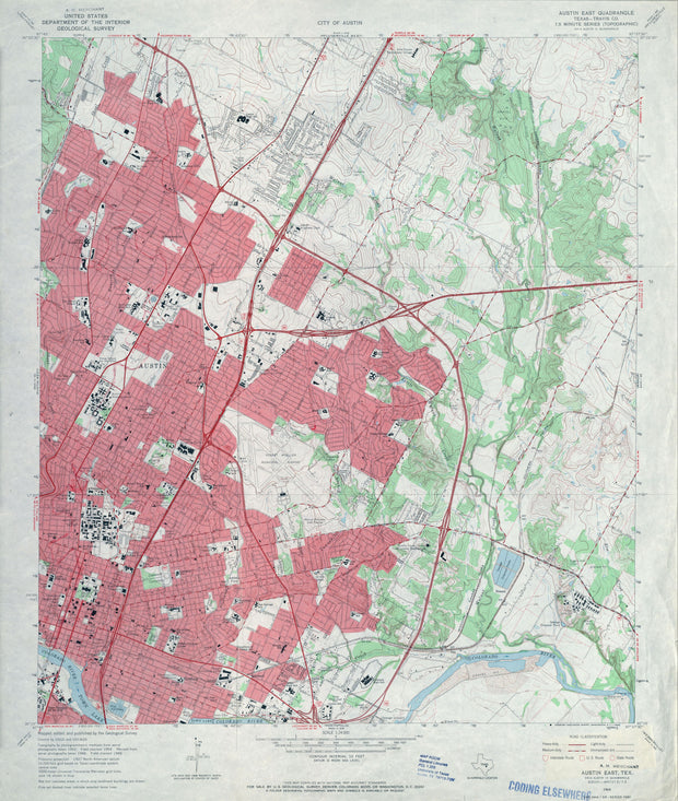
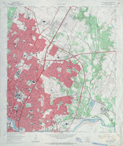
This US Geological Survey map from 1896 covers portions of Travis, Hays, Caldwell and Bastrop counites with Austin at its center. This is a high-resolution reproduction printed on 24 lb. bond paper.
COUNTY: Travis (partial Bastrop, Caldwell, Hays); SCALE: 1:125,000
Austin and Vicinity 1955, USGS
Our Price: $14.95

COUNTY: Travis; SCALE: 1:24,000
Austin East 1954, USGS
Our Price: $14.95

COUNTY: Travis; SCALE: 1:24,000
Austin East 1966, USGS
Our Price: $14.95

COUNTY: Travis; SCALE: 1:24,000
Austin East 1973, USGS
Our Price: $14.95

COUNTY: Travis; SCALE: 1:24,000
Austin East 1988, USGS
Our Price: $14.95

COUNTY: Travis; SCALE: 1:24,000
Austin West 1954, USGS
Our Price: $14.95

COUNTY: Travis; SCALE: 1:24,000
Austin West 1966, USGS
Our Price: $14.95

COUNTY: Travis; SCALE: 1:24,000
Austin West 1973, USGS
Our Price: $14.95

COUNTY: Travis; SCALE: 1:24,000
Austin West 1988, USGS
Our Price: $14.95

COUNTY: Travis; SCALE: 1:24,000
Bastrop 1899, USGS
Our Price: $14.95

COUNTY: Bastrop (partial Lee, Travis, Williamson); SCALE: 1:125,000
Blanco 1885, USGS
Our Price: $14.95

COUNTY: Blanco (partial Burnet, Comal, Hays, Travis); SCALE: 1:125,000
Burnet 1909, USGS
Our Price: $14.95

COUNTY: Burnet (partial Llano, San Saba, Travis, Williamson); SCALE: 1:125,000
Georgetown 1885, USGS
Our Price: $14.95

COUNTY: Williamson (partial Bell, Burnet, Travis); SCALE: 1:125,000
Mt Bonnell 1930, USGS
Our Price: $14.95

COUNTY: Travis; SCALE: 1:62,500
Spicewood 1930, USGS
Our Price: $14.95

COUNTY: Travis (partial Burnet); SCALE: 1:62,500
   
 
True North Publishing
PO Box 308
Bulverde, TX 78163
830-885-4668
 Contact Us
 Privacy Policy
 Send Us Feedback