0 in stock
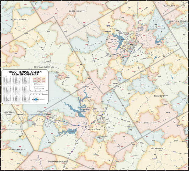
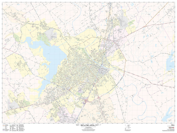
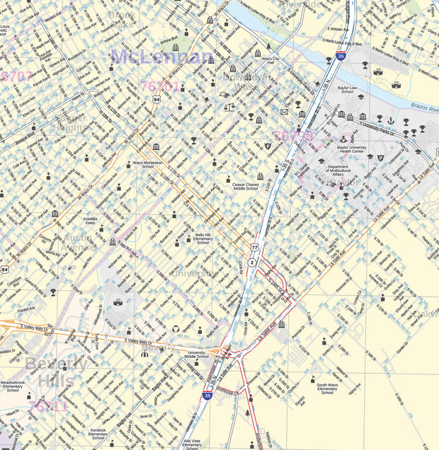
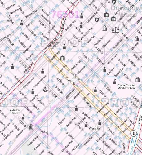
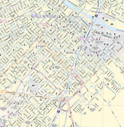
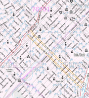
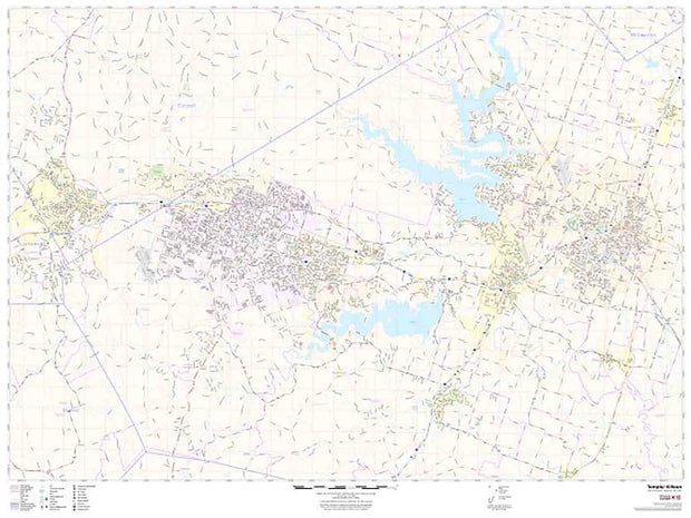
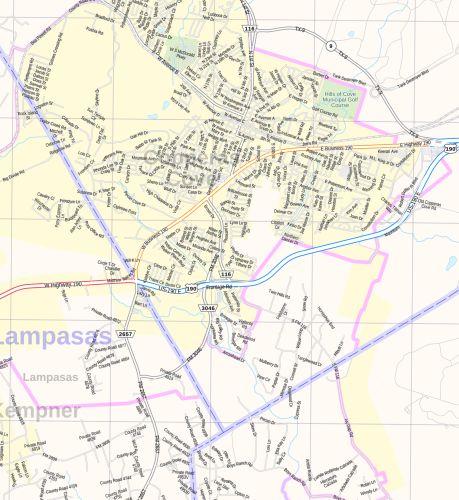
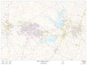
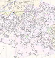
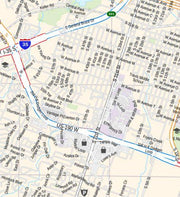
Save money on our full line of wall maps from one of the industry leaders in wall maps. These always up to date, eye catching wall maps come in a variety of sizes and finishing options sure to meet your specific mapping needs.
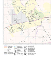
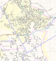
Features include:
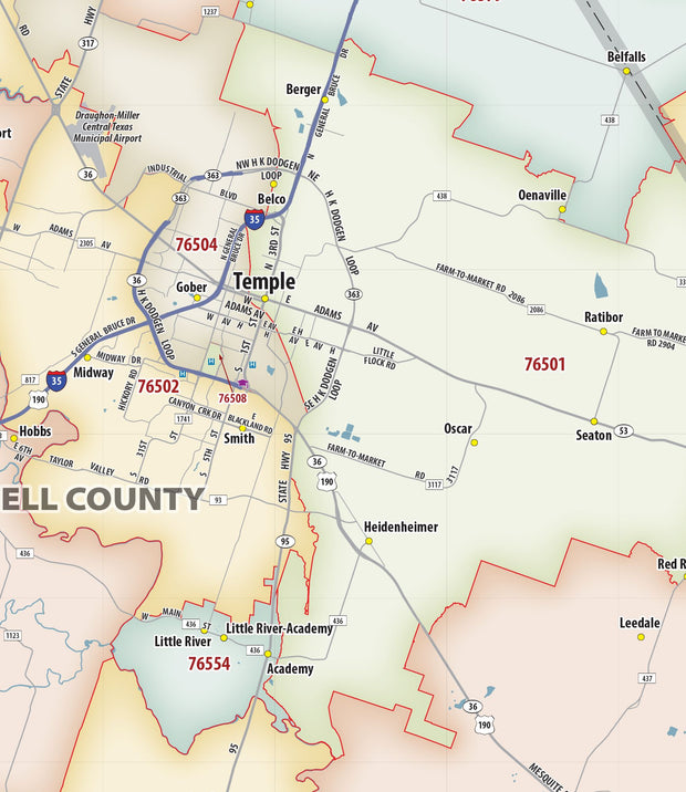
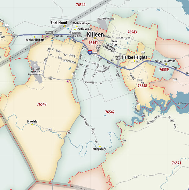
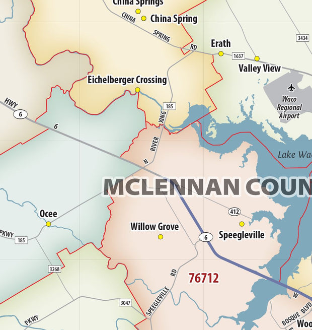
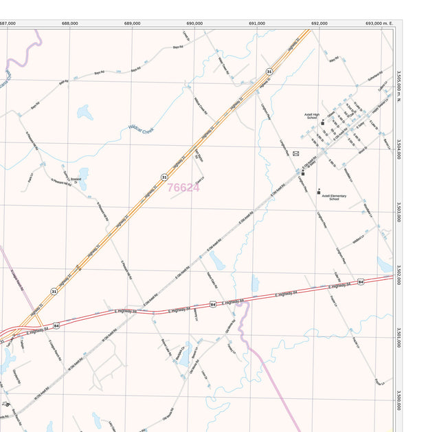
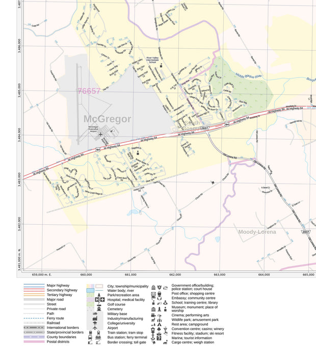
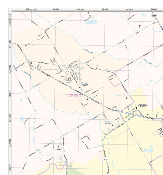
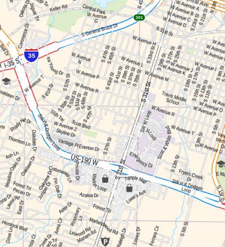
- Interstate/Us/State Highways
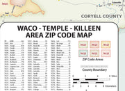
- 5-Digit ZIP Codes
- County Names and boundaries
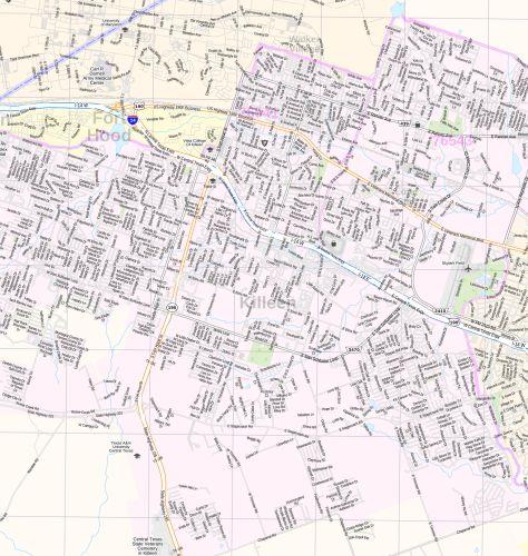
- Cities and Towns as applicable
- All water
- Institutions
- Cemetery
- Airports
- Golf Courses
- Parks
- Populated Places Shaded
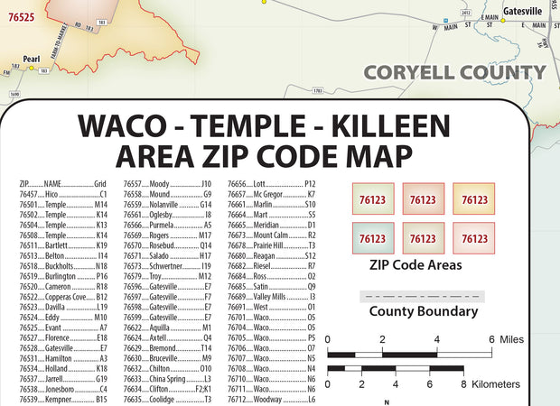
- ZIP Code index with grid locator
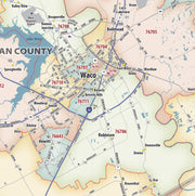
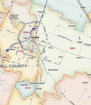
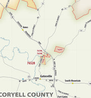
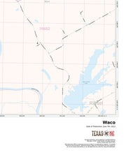
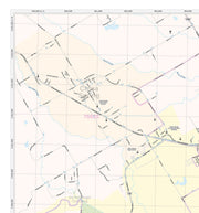
Waco, TX
Area of Coverage: north: TSTC Waco Airport: South to include city of Downsville; East: TSTC Waco Airport and city of Wardlaw; West: McGregor Municipal Airport and Waco City Limit.