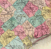
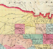
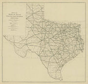
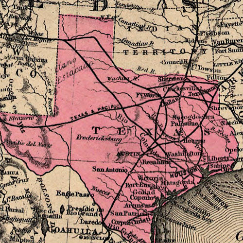
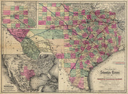
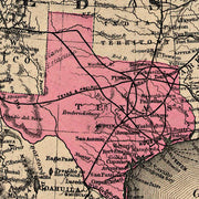
From a time when railroads were still the main mode of long distance travel, this extremely detailed map depicts rail lines operated by the Southern Pacific Railway as well as blocks of land that the company had for sale. Wonderful period images in the upper corners promote Texas agriculture and sightseeing. This beautiful reproduction is printed on heavy parchment style paper and is excellent for framing.
33"W x 26"H
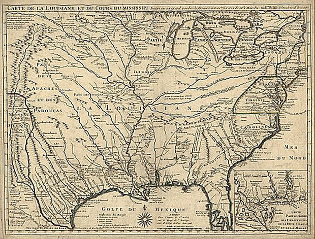
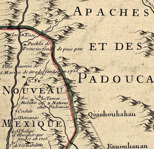
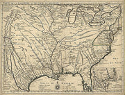
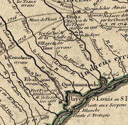
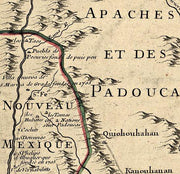
Carte de la Louisiane et du cours du Mississipi 1718
HIST840
Regular price
$39.95
0 in stock
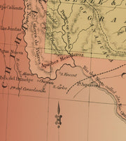
Known for its detailed depiction of the states adjacent to the Gulf of Mexico region and the Mississippi River, this map is also the first printed map to show a variant name for Texas (from the note "Mission de los Teijas etablie en 1716" in what is now East Texas) and has been called "the map that named Texas". It depicts the great French explorations of the era and was copied for decades. By Guillaume de L'Isle.
26"W x 18"H
Interested in a framed version of this map? Click HERE
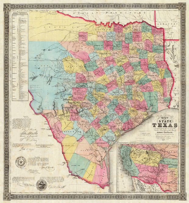
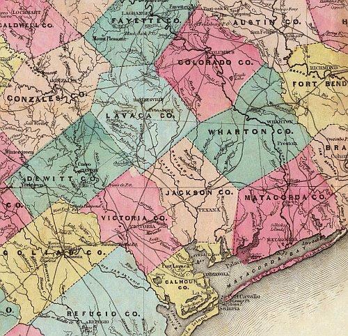
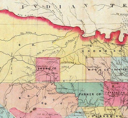
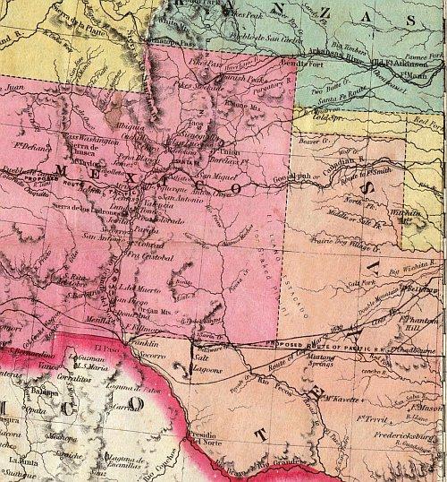
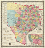
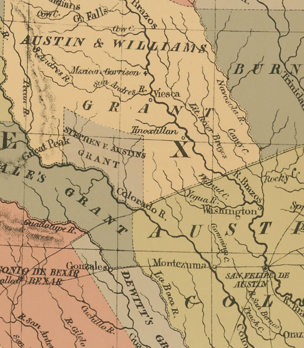
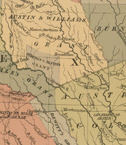
Texas 1856 by J. De Cordova
HIST800
Regular price
$39.95
-2 in stock
This colorful map is rich in detail. In the lower left the map is signed and endorsed by Texas founding fathers Sam Houston and Thomas J. Rusk; George T. Wood, 2nd governor of Texas; Washington D. Miller, governor Wood's secretary of state; George W. Smyth, 2nd commissioner of the General Land Office; John C. Hays, legendary Texas Ranger; and others. This beautiful reproduction is printed on heavy parchment style paper and is excellent for framing.
26"W x 30"H
Interested in a framed version of this map? Click HERE
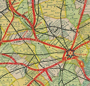
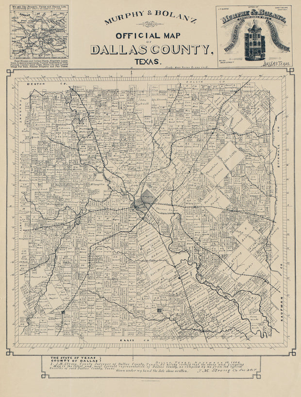
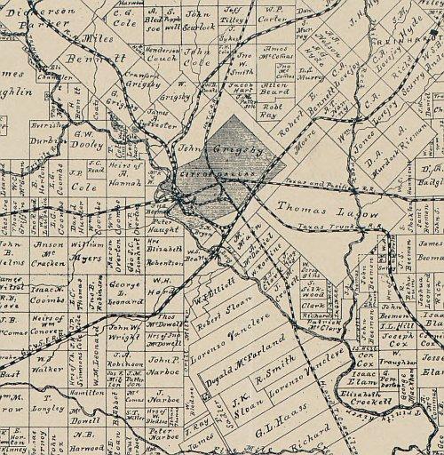
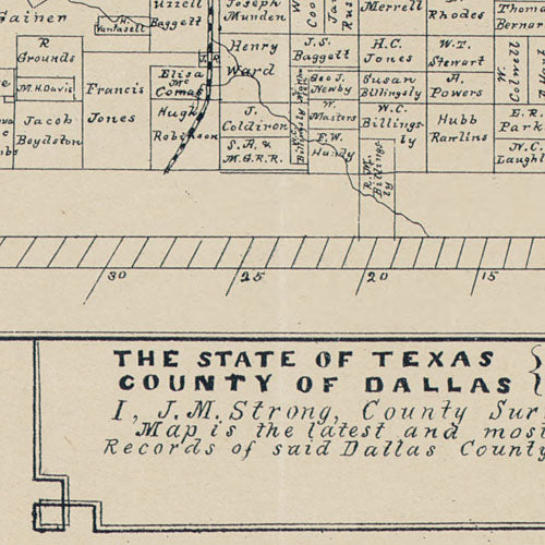
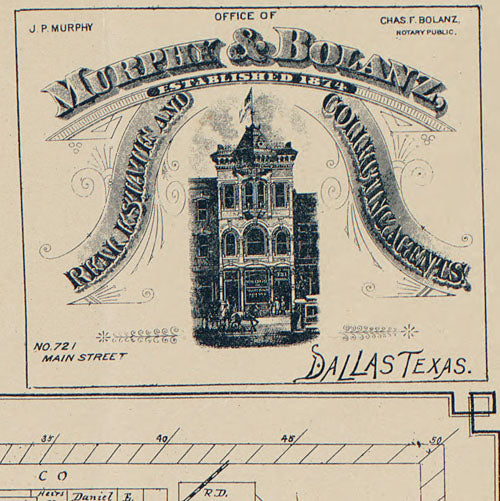
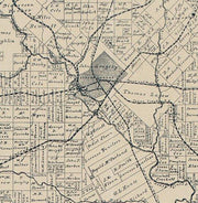
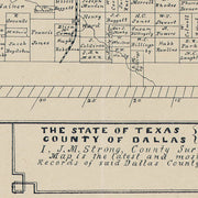
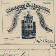
Official map of Dallas County 1886 by Murphy & Bolanz
HIST610
Regular price
$39.95
-4 in stock
This ownership map carries the statement "Dallas, Texas, November 1st, 1886. I, J.M. Strong, County Surveyor of Dallas County, Texas, do hereby certify that the above and foregoing map is the latest and most correct representation of Dallas County, as compiled by me from the official records of said Dallas County, Texas." This perfectly preserved reproduction is printed on heavy parchment style paper and is excellent for framing.
22"W x 29"H
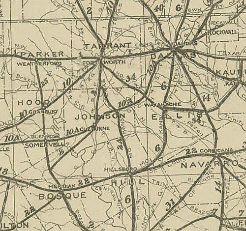
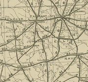
Texas 1919, Texas Highway Department
HIST680
Regular price
$39.95
-5 in stock
This is the official map published by the then Texas Highway Department (now Texas Department of Transportation) in 1919. This excellent reproduction is printed on heavy, acid-free bond and is excellent for framing.
31" x 33"
Interested in a framed version of this map? Click HERE
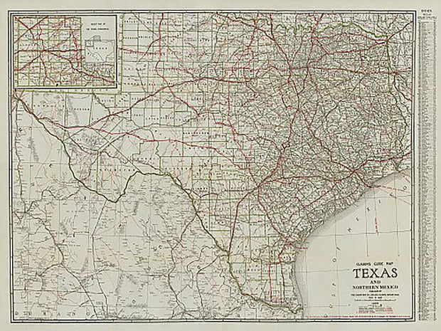
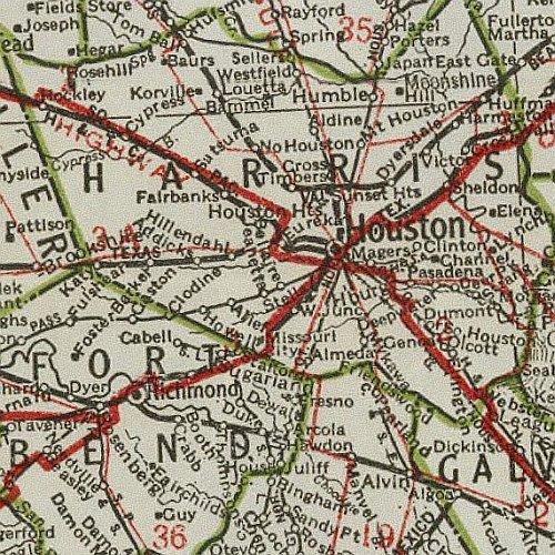
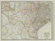
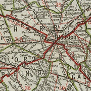
Clasons Texas Guide Map 1931
HIST630
Regular price
$39.95
-1 in stock
In the 1930s railroads were still important in transporting people, but increased automobile ownership led to a demand for paved roads and highways. Many of the highways on the map are by name only such as "Old Spanish Trail" and "Puget Sound to Gulf Hwy". The index on the right side lists "Cities and Towns with population over 1250". This great reproduction is an excellent resource for historians and will make an interesting conversation piece in any room.
46"W x 36"H
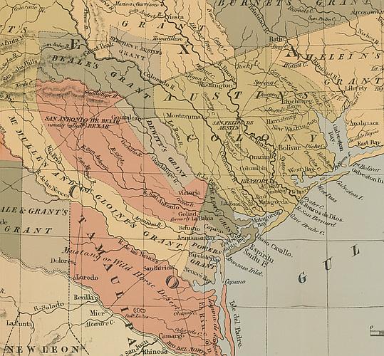
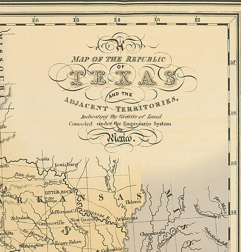
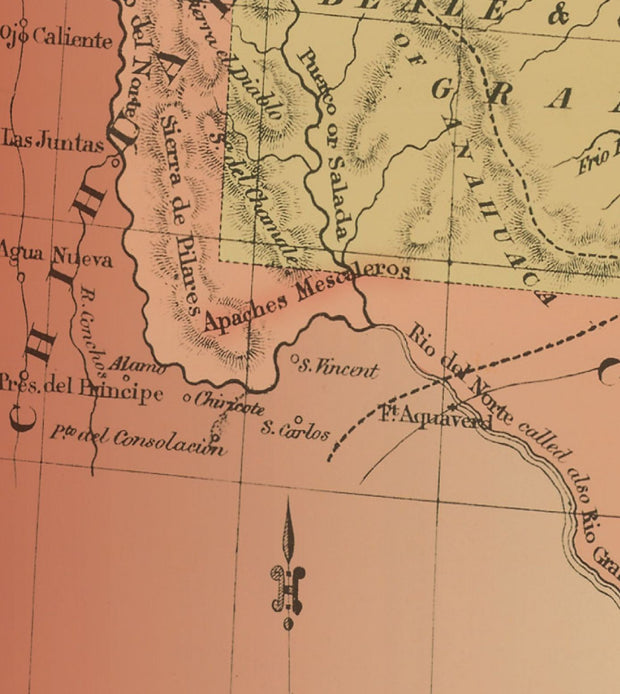
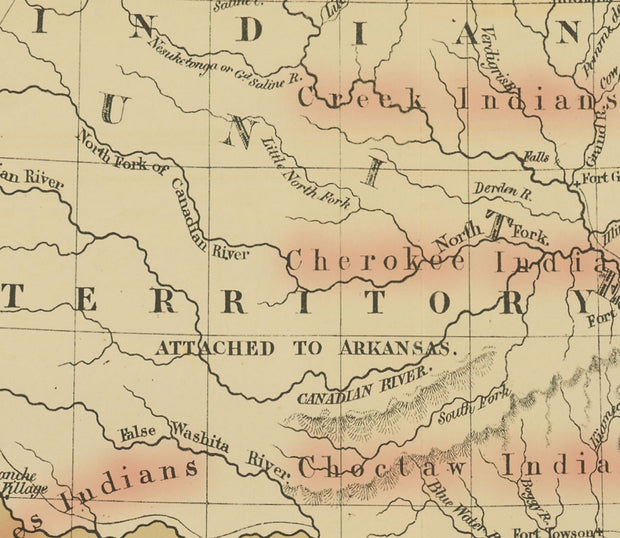
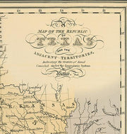
The Republic of Texas, 1836
HIST320
Regular price
$44.95
-14 in stock
This stunning, exclusive design features the Republic of Texas as taken from a map of the United States originally drawn by J.H. Young and published by Augustus Mitchell in 1836.
From there, we adjoined a portion of the Texas Flag as well as perhaps the most iconic Texas quote ever and brought the three elements together in what can only be described as a fantastic piece portraying the proud history of Texas at this symbolic time in history.
Sized ready for framing it is printed on a 36" wide x 24" high 65lb Mohawk parchment stock using HP 100 year inks. An even 3/4" border along the edges makes framing or hanging worry free. In order to make sure it arrives safely we carefully roll the map and insert it in to a protective poly tubing sleeve and then it is inserted in a heavy cardboard tube for safe handling all the way to its destination.
Perfect gift for a history enthusiast this piece looks stunning hanging in an office, living room or anywhere you want to showcase a bit of history
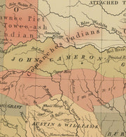
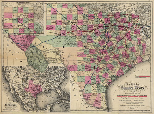
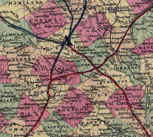
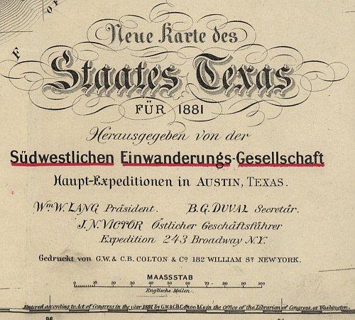
Neue Karte de Staates Texas 1881
HIST280
Regular price
$39.95
0 in stock
Although the title block is in German, this excellent map depicts all place and feature names in English. Counties and principle cities are shown as well as rivers and major creeks, forts, railroads and mountains. This beautiful reproduction is printed on heavy parchment style paper and is excellent for framing. Interesting note: San Antonio is labeled with the feminine "San Antonia".
23" x 31"
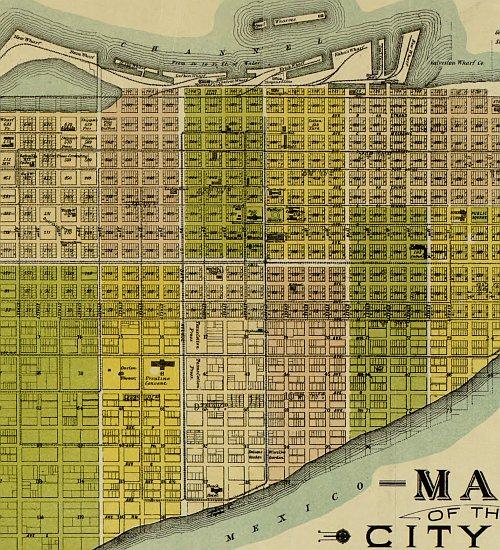
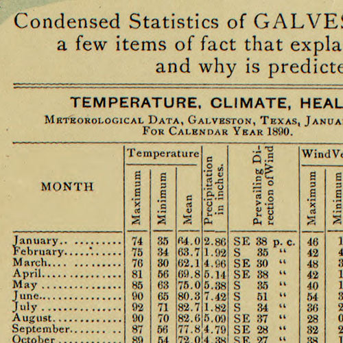
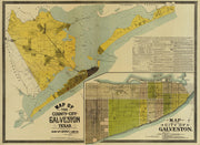
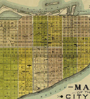
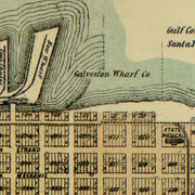
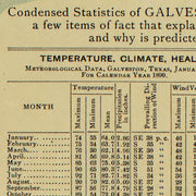
Galveston County and City 1891
HIST210
Regular price
$39.95
-1 in stock
Galveston, at the turn of the 19th century, was a growing metropolis with a population (~37,000) greater than Houston and the major trade hub of Texas. This beautiful reproduction is printed on heavy parchment style paper and is excellent for framing.
35"W x 25"H
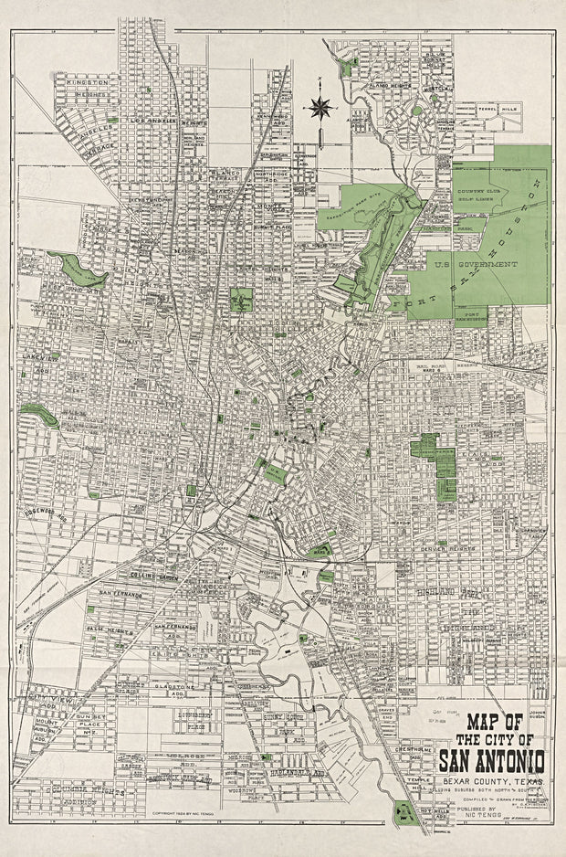
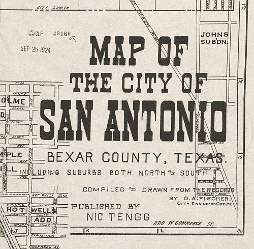
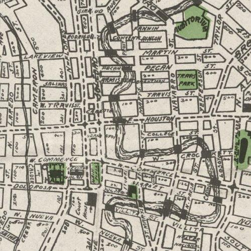
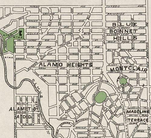
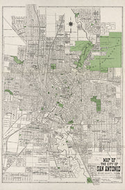
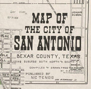
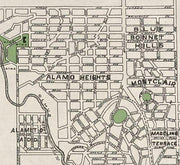
San Antonio 1924 by Nic Tengg
HIST830
Regular price
$39.95
-2 in stock
This is a great snapshot of San Antonio when it was beginning to grow into one of Texas' major cities. Alamo Heights is the subdivision at the northeastern edge of the map. This beautiful reproduction is printed on heavy parchment style paper and is excellent for framing.
25"W x 37"H
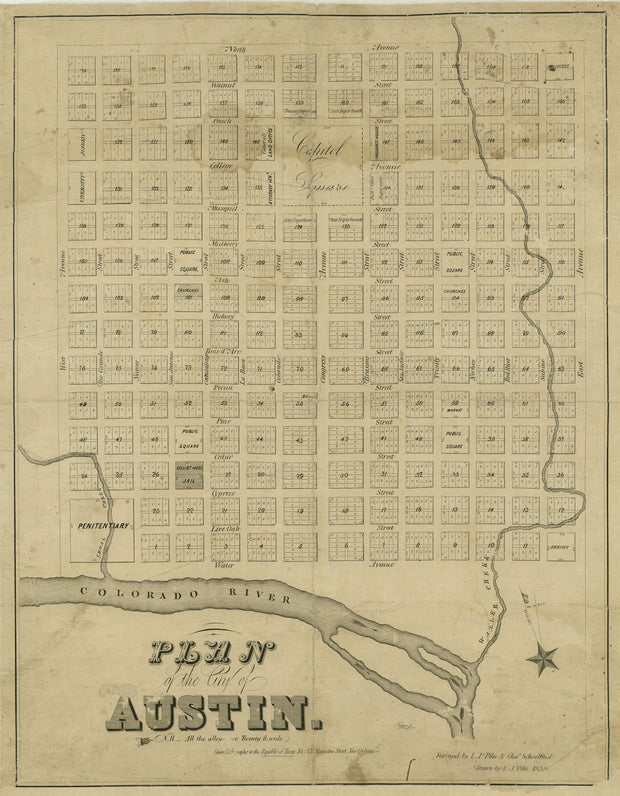
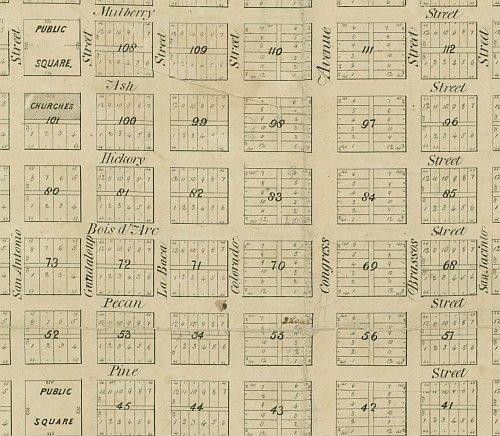
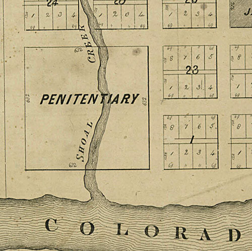
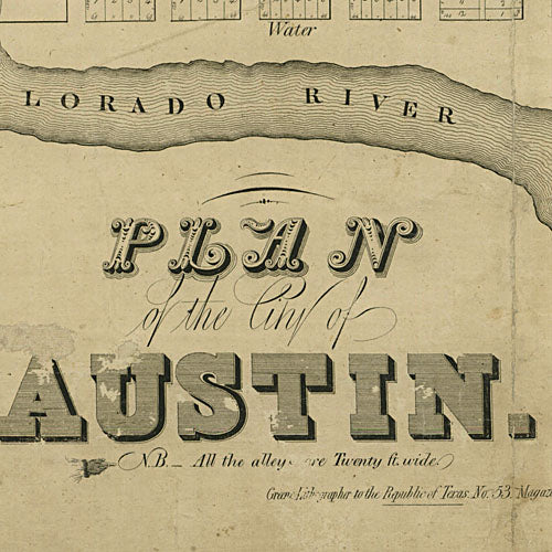
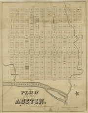
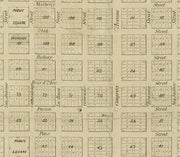
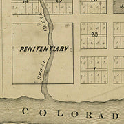
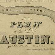
Austin 1839
HIST690
Regular price
$39.95
0 in stock
This well preserved map of Austin from the early days of the Republic shows that, although some spellings have changed, the names of the north-south "river" streets have persisted to this day. The modern east-west numbered streets, however, were once named after trees. You may draw your own conclusions from the fact that the same amount of land was set aside for a "Penitentiary" (lower left) as was dedicated to the "Capital Square". This excellent reproduction is printed on heavy parchment style paper and is excellent for framing.
17"W x 22"H
Interested in a framed version of this map? Click HERE
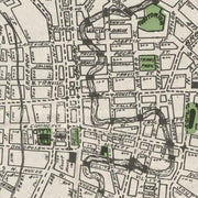
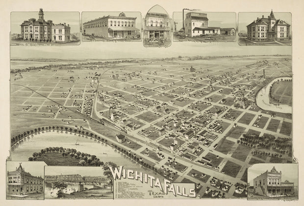
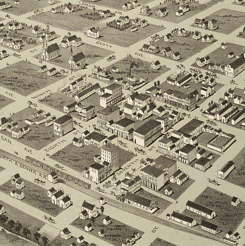
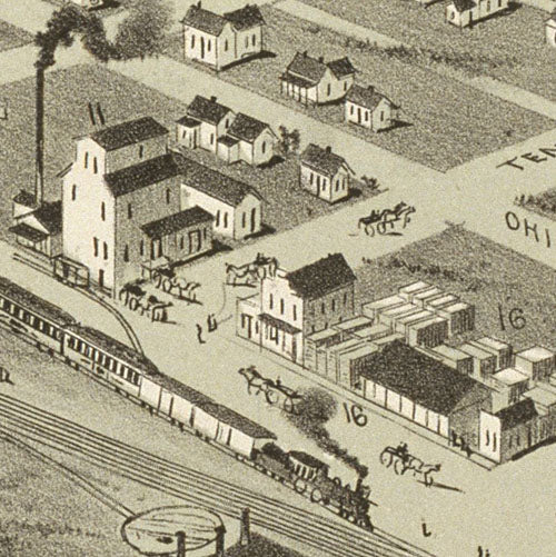
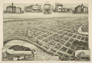
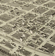
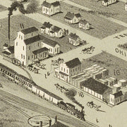
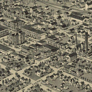
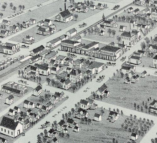
Wichita Falls 1890
HIST620
Regular price
$39.95
-1 in stock
This great bird's eye view has wonderful images of prominent buildings as well as labeled streets and a legend on the bottom locating 16 churches, businesses and public buildings. This beautiful reproduction is printed on heavy parchment style paper and is excellent for framing.
30"W x 21"H
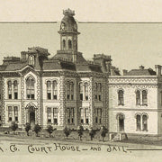
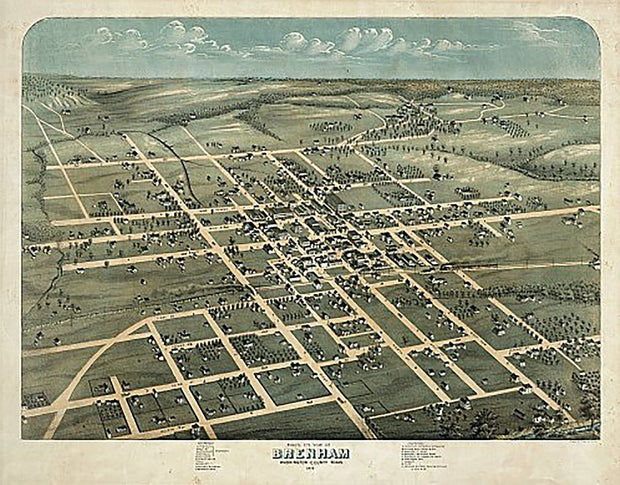
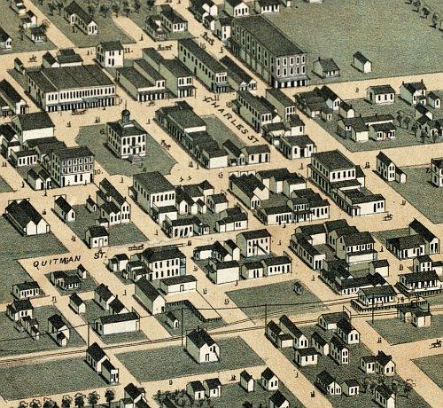
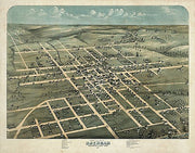
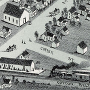
Brenham 1873 by Augustus Koch
HIST510
Regular price
$39.95
-1 in stock
This great bird's eye view has streets labeled and a legend across the bottom locating 19 churches, businesses and government buildings. This beautiful reproduction is printed on heavy, acid-free stock and is excellent for framing.
24"W x 19"H
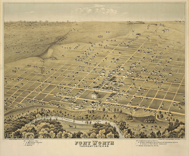
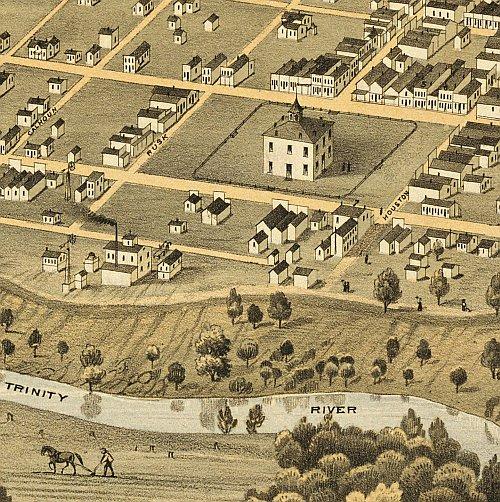
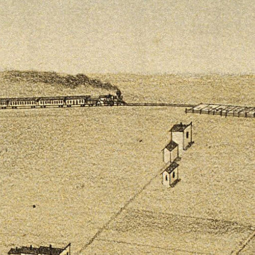
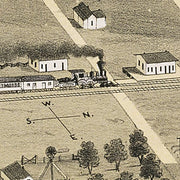
Fort Worth 1876 by D.D. Morse
HIST450
Regular price
$39.95
-1 in stock
A decade after the Civil War, Fort Worth was not unlike many other sleepy outposts on the Texas prairie. In 1876 the Texas & Pacific Railway came to town and ushered in an era of astonishing growth. All of the streets are labeled on this excellent bird's eye view and a legend across the bottom identifies seven prominent businesses and churches. This beautiful reproduction is printed on heavy parchment style paper and is perfect for framing.
24"W x 21"H
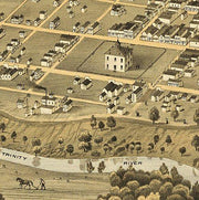
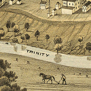
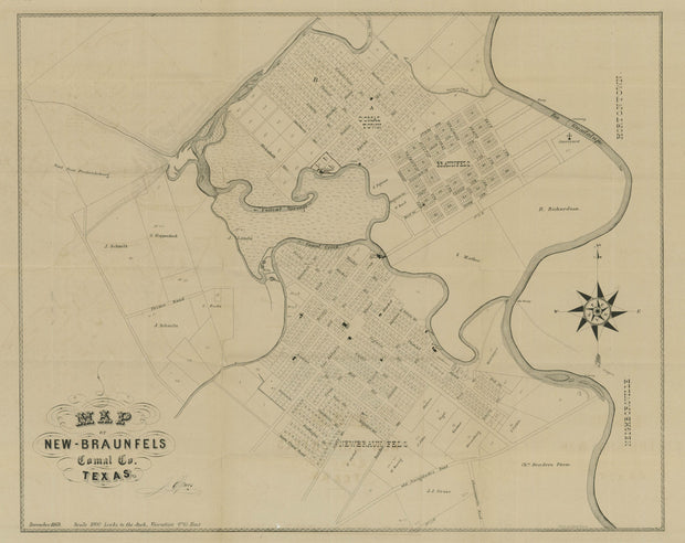
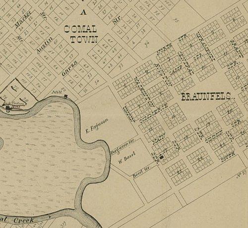
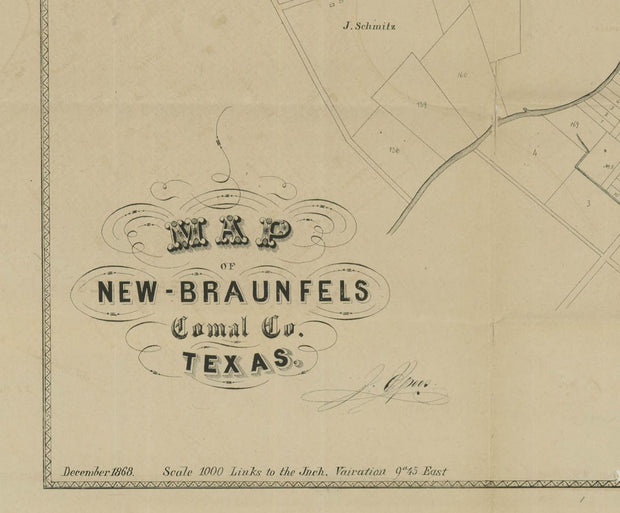
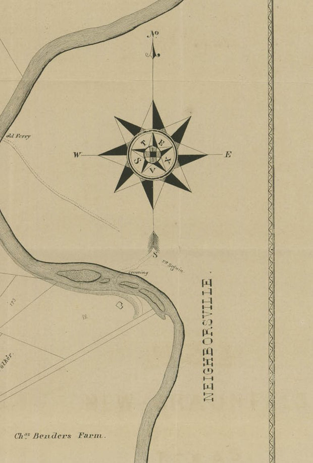
New Braunfels 1868
HIST705
Regular price
$39.95
-2 in stock
Founded in 1845 by German immigrants, New Braunfels soon emerged as a manufacturing center supplying wagons, farm implements, leather goods, furniture, and clothing for pioneers settling the hills of Central Texas. The town also figured as an important market for the expanding agricultural frontier. This excellent reproduction is printed on heavy parchment style paper and is perfect for framing.
23"W x 18"H
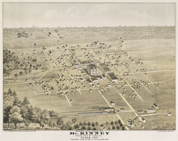
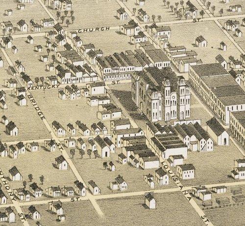
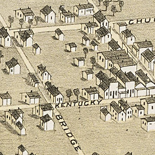
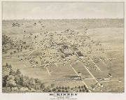
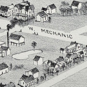
McKinney 1876 by D. D. Morse
HIST520
Regular price
$39.95
-2 in stock
This great bird's eye view has streets labeled and lists the population at 2000. Interesting note: The intersection of Tennessee and Virginia streets shown on the map is the center of town to this day. This beautiful reproduction is printed on heavy parchment style paper and is excellent for framing.
24"W x 19"H
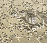
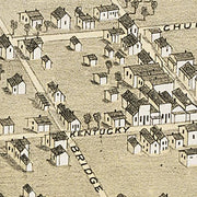
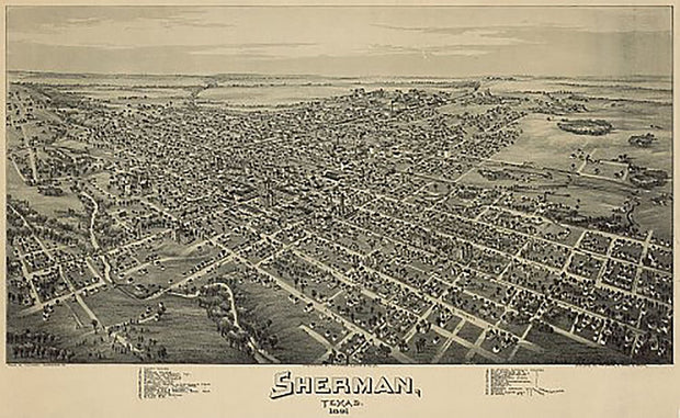
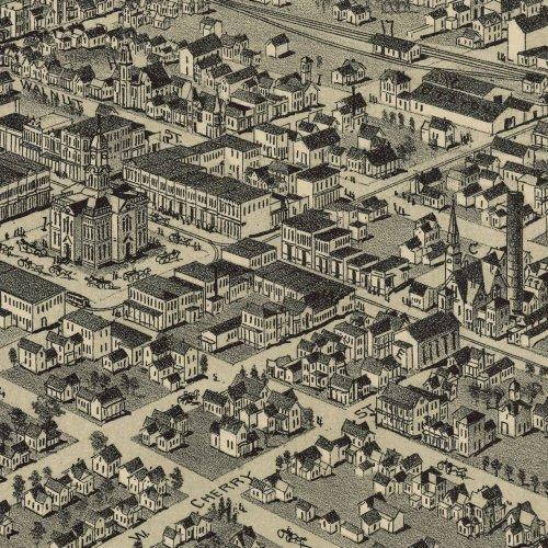
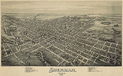
Sherman 1891 by Fowler & Moyer
HIST490
Regular price
$39.95
-1 in stock
This great bird's eye view has streets labeled and a legend across the bottom locating 32 businesses, churches and government buildings. This beautiful reproduction is printed on heavy, acid-free stock and is excellent for framing.
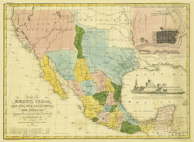
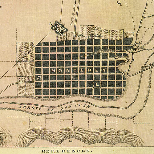
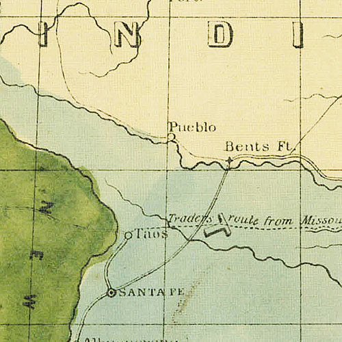
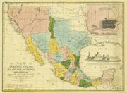
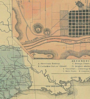
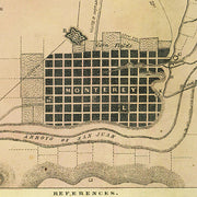
Published during the Mexican-American War, this interesting map Shows rivers, lakes, cities, towns, routes and trails--including the Great Spanish Road to Red River and the routes of Fremont and Kearney, battlegrounds, forts, and the American Fur Depot by the Great Salt Lake [Lake Yuts]. It features a drawing of the Castle of San Juan D'Ullon and an inset: Plan of Operations at the Battle of Monterey on the 21st, 22nd, and 23rd Sept., 1846. This beautiful reproduction is printed on heavy parchment style paper and is excellent for framing.
28"W x 21"H
Interested in a framed version of this map? Click HERE
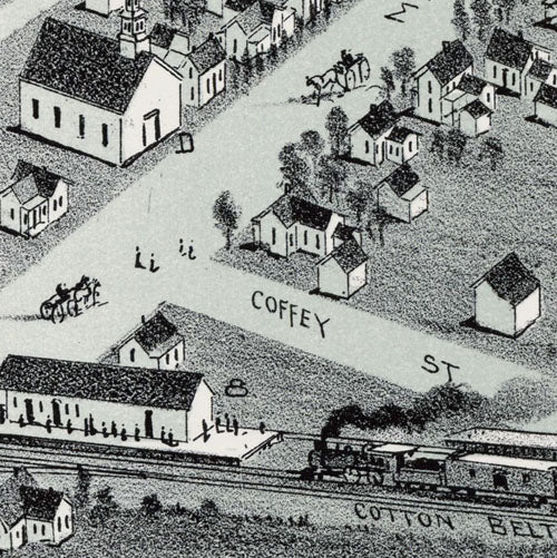
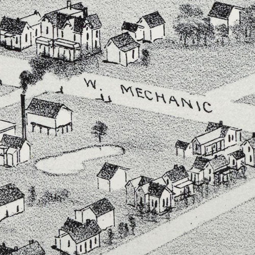
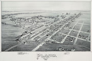
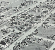
Plano 1891 by Fowler & Moyer
HIST470
Regular price
$39.95
-1 in stock
This bird's eye view has streets labeled and a legend across the bottom listing churches, businesses and prominent buildings. This beautiful reproduction is printed on heavy parchment style paper and is excellent for framing.
27"W x 17"H
Interested in a framed version of this map? Click HERE